Off from the campsite on the outside of Pontarlier after some breakfast and a skip up the highway dodging the commuter traffic.
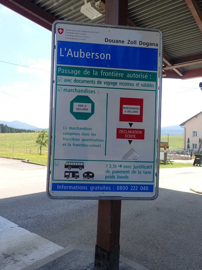
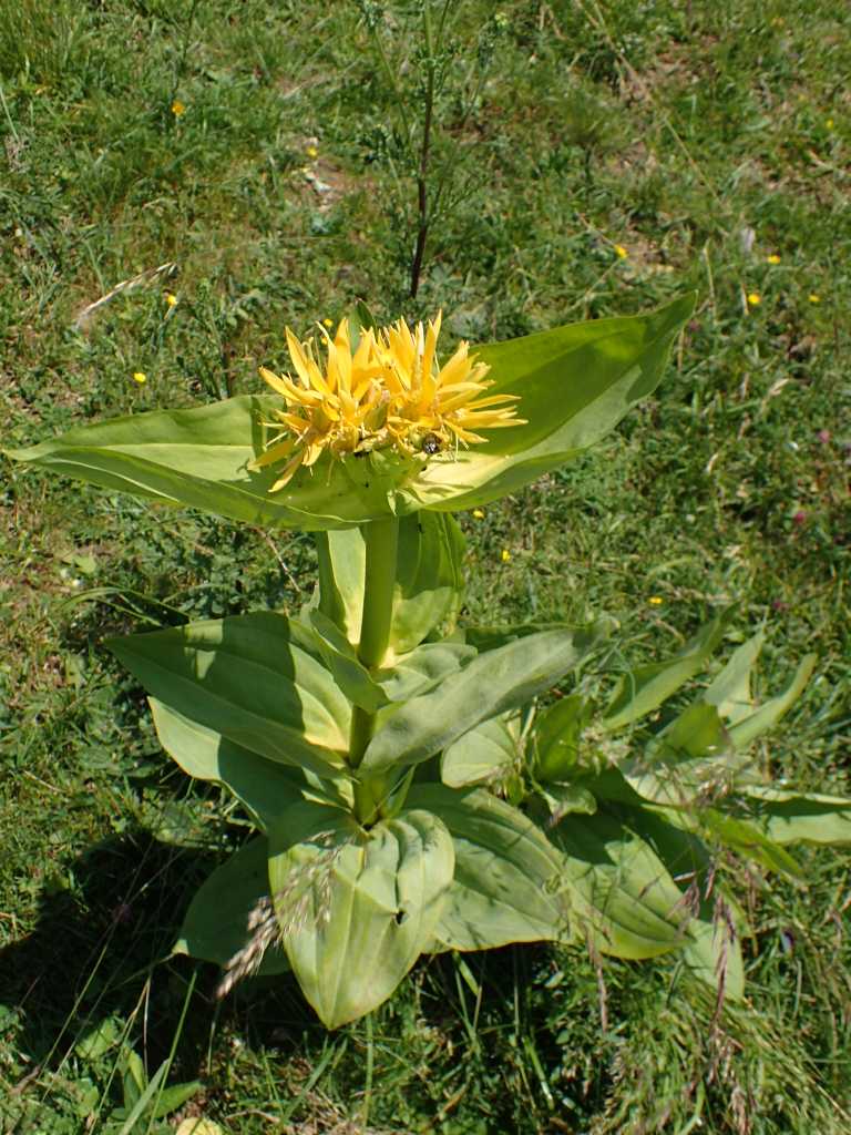
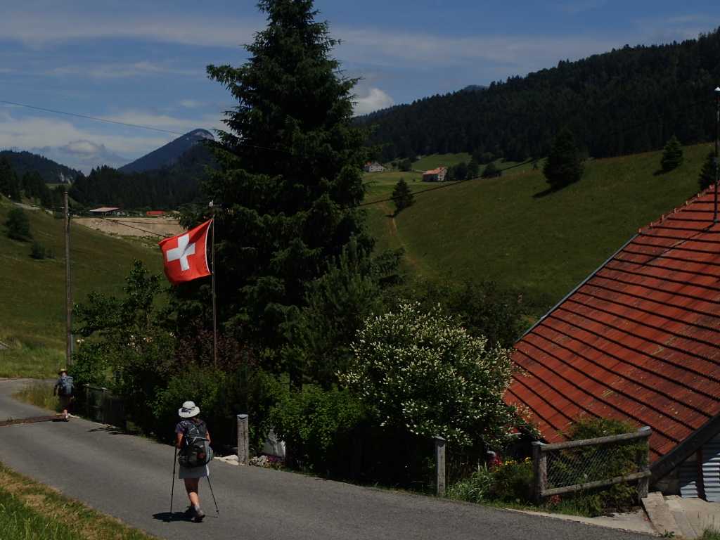
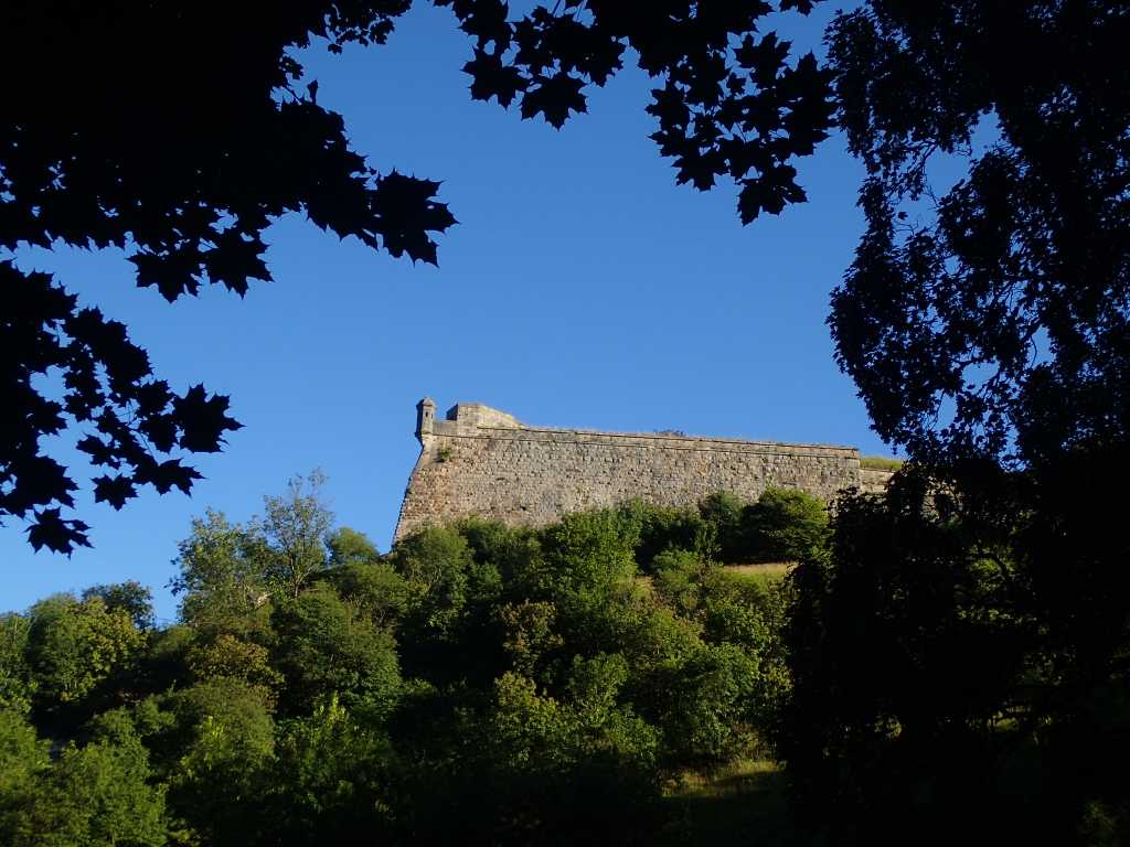
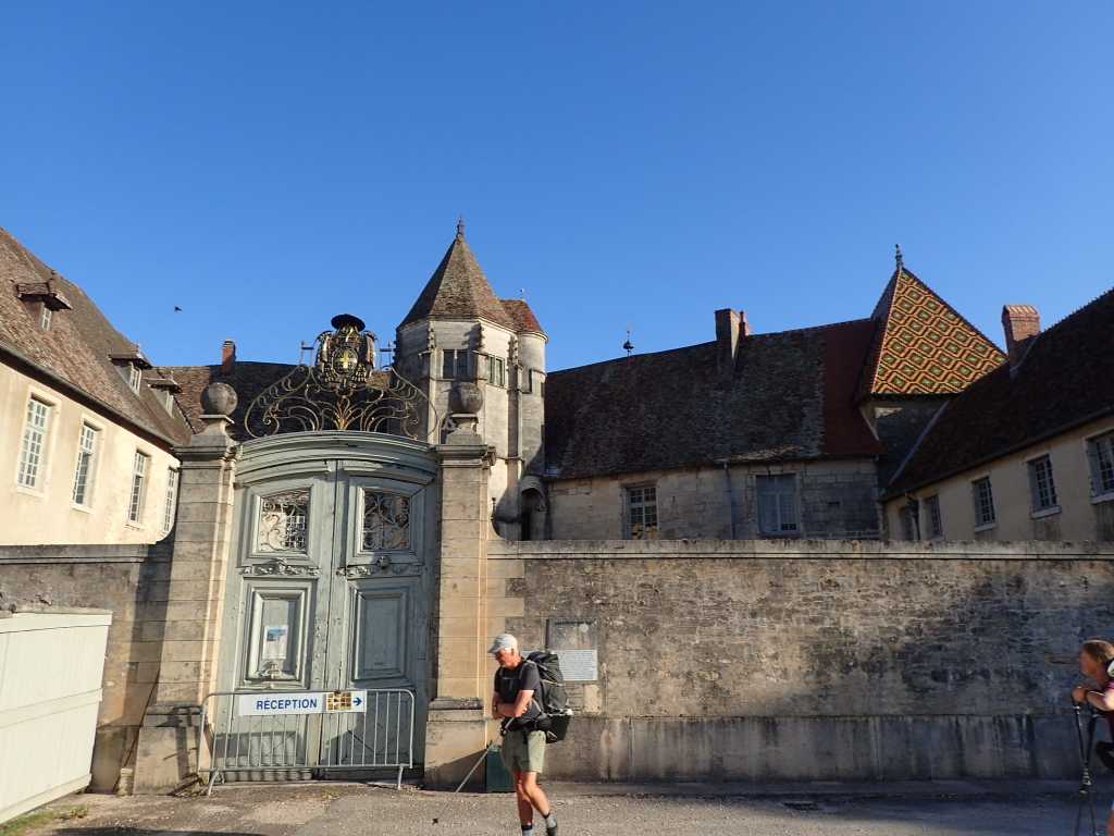
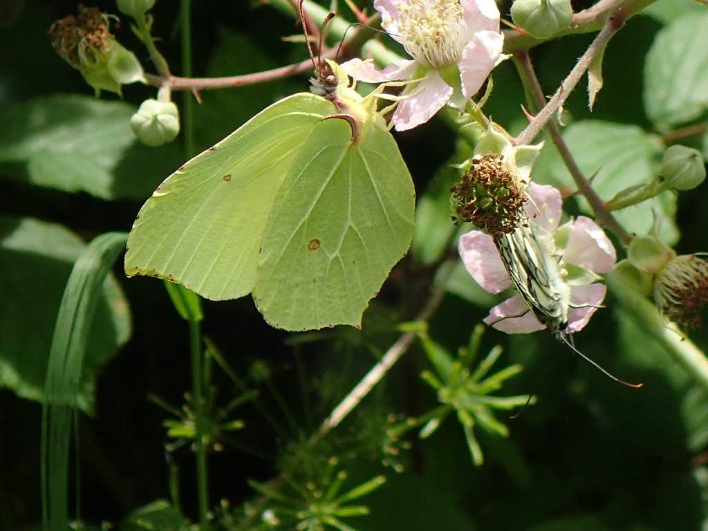
Today we leave the country of the golden lion (it took some time for us. to realise that the flag of a gold lion rampant with red claws claws and tongue on a blue background is the flag of the Franche-Comte. After passing through the Windy Gap between the Château Joux and the rest of the escarpment we get coffee. Onward the reaugmented group climb steadily and eventually get to Les Fourgs just above the border and get the first beer of the day. It is not cheap, a possible harbinger of the border and the next few weeks expenses. A few metres and a km or so down and we encounter the abandoned Douane base on the road. Had we been challenged we would have had to confess to several slugs who were hiking with the fortunately still sealed ham slices! The Swiss seem not to mind, the butterflies do not change and abound around the verges, there is slow change in architecture more related to altitude and the possibility of snow than to nationality. The scenery is wonderful limestone outcrops and fields including the Gentians used to flavour some of the products of M. Guy who we visited yesterday. Ray and Tim are confused, to them gentian is violet! A result of medical education, but it turns out the flowers are yellow. We eventually top out just under 1200m and descend into Saint Croix.
It should be mentioned at this stage that although we hope to spend the night in Saint Croix we have No information about this. The tourist office lady tries hard but fails, there is no campsite or reasonable accommodation.
PLAN B. We get on a train. This goes with a bus ride to somewhere we will get to tomorrow! about 500m from the bus stop is a very nice campsite in Orbes. Where we will be tomorrow. The bus and train back to Saint Croix tomorrow on Saturday may hang together. We shall see, but a safe haven with a good supermarket at the bus stop is ours for three nights while we negotiate this tricky bit of Switzerland.
Another change in the country side is, while the yellow arrows continue pointing to Rome, there are pedestrian walking signs and peculiar turnstiles in the footpaths.
Enough for now,a long day and an early start tomorrow.
Author: Tim Digger
In the town of the Green Fairy. Ouhans to Pontarlier. 21km 300m of true altitude increase.
We left the house of Monsieur and Madame Saloman (they don’t make boots) but monsieur does make his own delicious smoked sausage. We had a very good dinner.
The morning starts and it’s off up the wooded slope steeply!to almost 900m
Then across along roads into Pontalier. Vuillesans a little village on the way has a poo elevator by the church
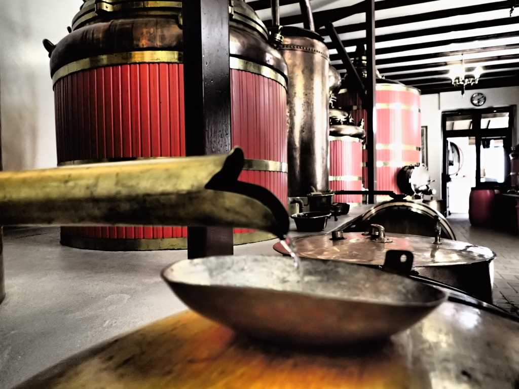
Pontarlier is the home of Absinthe. It used to be the active ingredient in various lethal, turn of the century replacements for wine, when phyloxerra wrecked the wine producing abilities of France. The absinthe producers such as Pernod and Ricard turned to less toxic alternatives. Some such as Guy who we visited in town, survived by producing herbal alcoholic beverages until showing that in moderation (levels a tenth of previous) safe products could be produced.
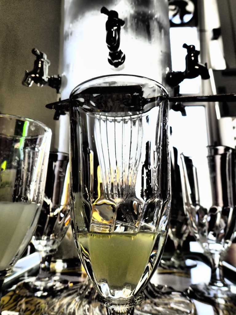
Where does the Green Fairy come in? Absinthe is bitter many like some sugar to sweeten it. This is difficult to add as it crystallises the absinthe. This the spoon and the dripping of iced water into the spirit. The resultant cloudy greenish mixture can when under the influence of both neuro active substances look like a green fairy in the. glass.
We left the distillery HAPPY. And set off shopping and back to camp for dinner.
Ray flew back from UK yesterday and met us just in time for the distillery trip. Surprising? No all planned!
Gorges Walking! Ornons to Ouhans. 21km 768m start hieght 340m finish hieght 650m
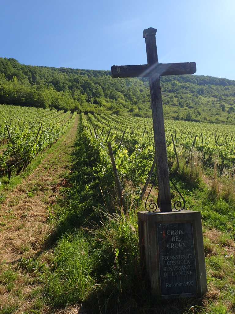
We are starting to climb now. Hopefully we will have legs and lungs ready for St. Bernard. The day started easily with a walk on an old ex railway track for a few km up this lovely valley. We pass several more little campsites and get coffee in Lods having crossed the river Loue. We follow the river to its source today. The map looks impressive, the valley narrows as we march upstream until we start steeply up the left side to the little village of Moutier St. Pierre where we pass a small area of vineyard clinging to the side of the valley, blessed by a cross. We learn the valley is proud of its past wine products but sadly virtually non is made in the area now, first phyloxerra then lack of labour after WW1 caused even the monks in the monastery who had a reputation for quality in the 19thC to stop producing.
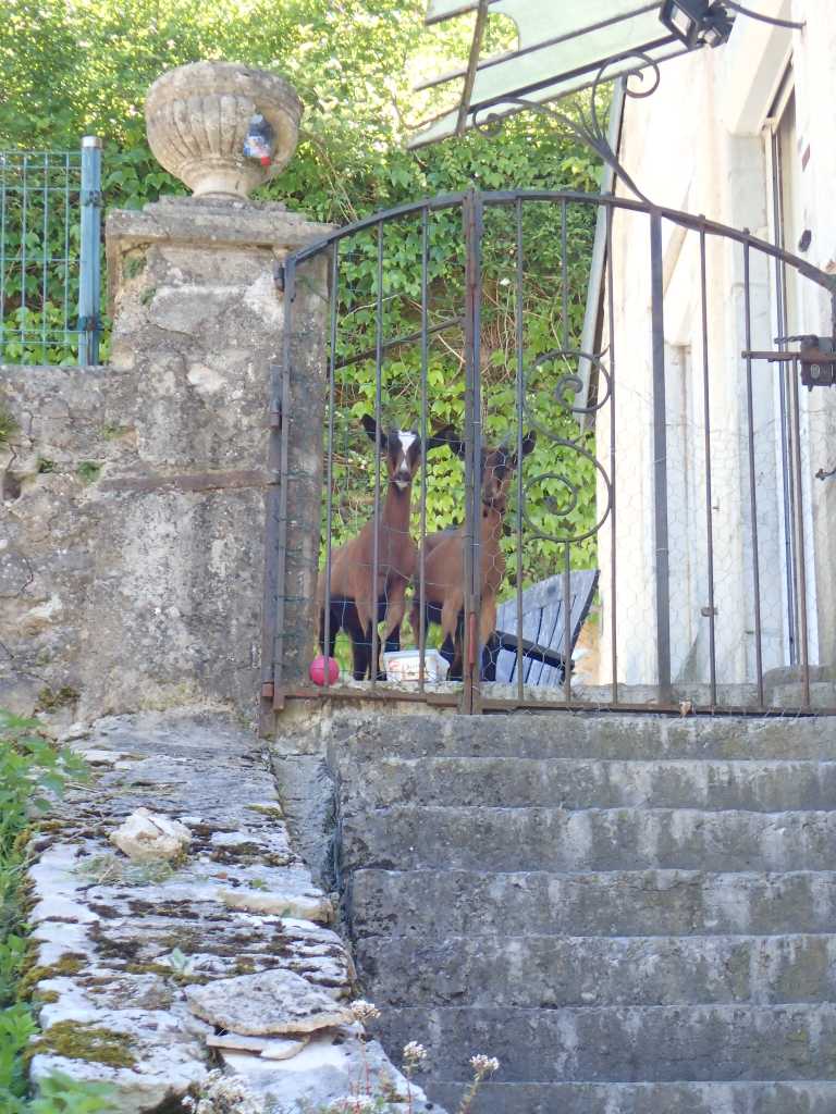
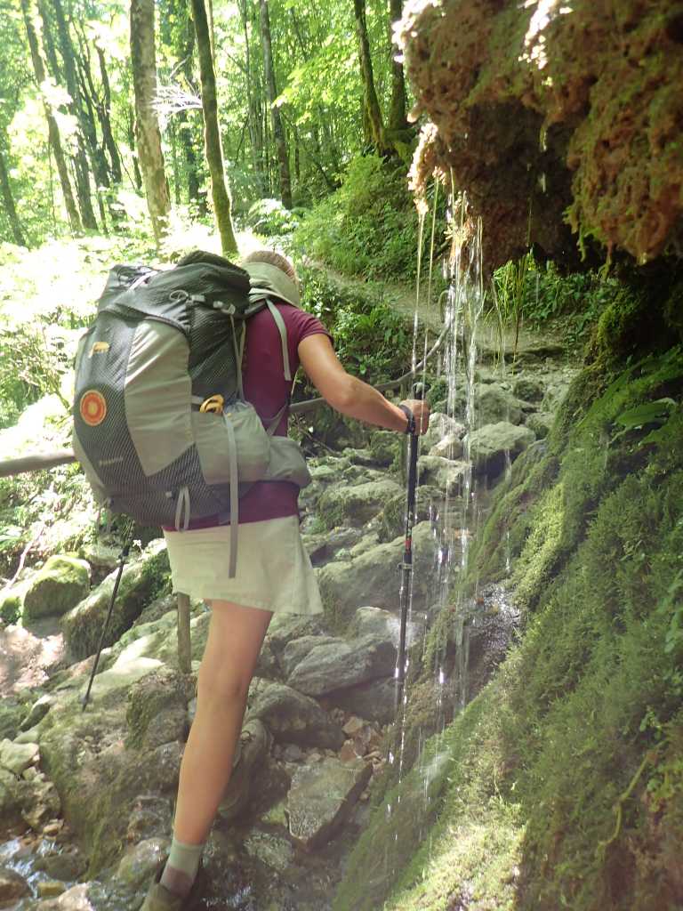
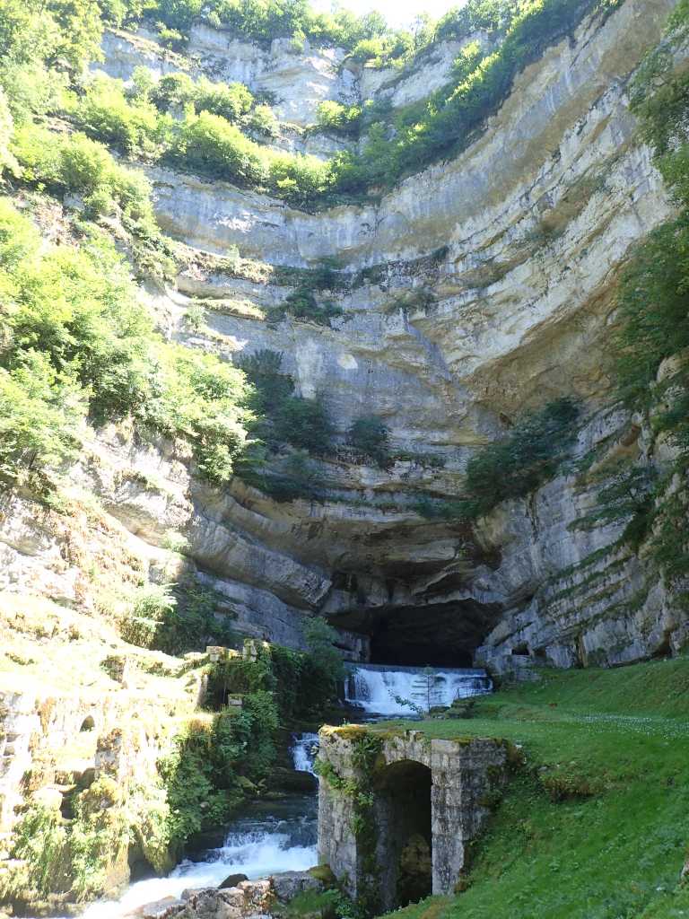
We get some fruit for tomorrow and a baguette for lunch today in Moutier, we are spotted by two kids shut in a garden. They bleat pathetically at us. The valley narrows further we descend into the Gorges de Nouailles past a small hydroelectric power station and start to track up and down the right side of the river. The gorge sides are heavily forested so we are in cool shade, even so it is hot work going up and around the various bits of limestone alongside the river in the steep gorge. We stop for lunch beside the river and the continue up to the barrage and the emergence of the Loue from its underground lair. This is a tourist spot we did see a few people walking in the gorge but there’s a few more here. The good news is a café and beer at the top.
It’s now only 1km to our lodging a Chambre d’hote in Oulans. We are met by Monsieur who is in “work in progress” Oh no not again! He sends us round the corner but all is well Madame greets us and we get beer and showers.
Tomorrow is Pontalier,a rendezvous with the Green Fairy! No not Raymond.
More Steps. Besançon to Ornans 26km plus some height.
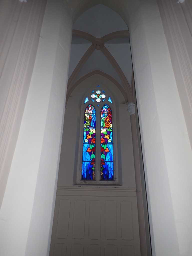
Leaving Besançon is not easy in any direction except by boat. It is in the river bend etched 230m into the surrounding limestone area. We clamber up the steps and then the road. For some reason appropriately there are two sets of stations of the cross over the last 50m until we get to the Chapel de Notre Dame de Buis. This is largely reconstructed post WW2 with some nice stained glass of the period.
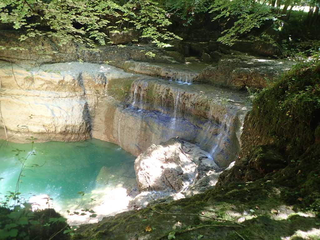
Once up the top we undulate up and down a bit through pleasant woods and fields with cows. As we start to descend from our high point of 535m into the limestone valley of the Loue river with its multiple outcrops, we are distracted from our piste cycliste by the geological oddity of the stream that flows both ways, a sink hole and a subterranean river combine with various amounts of rain to overflow backwards into the stream normally filling the sink hole.
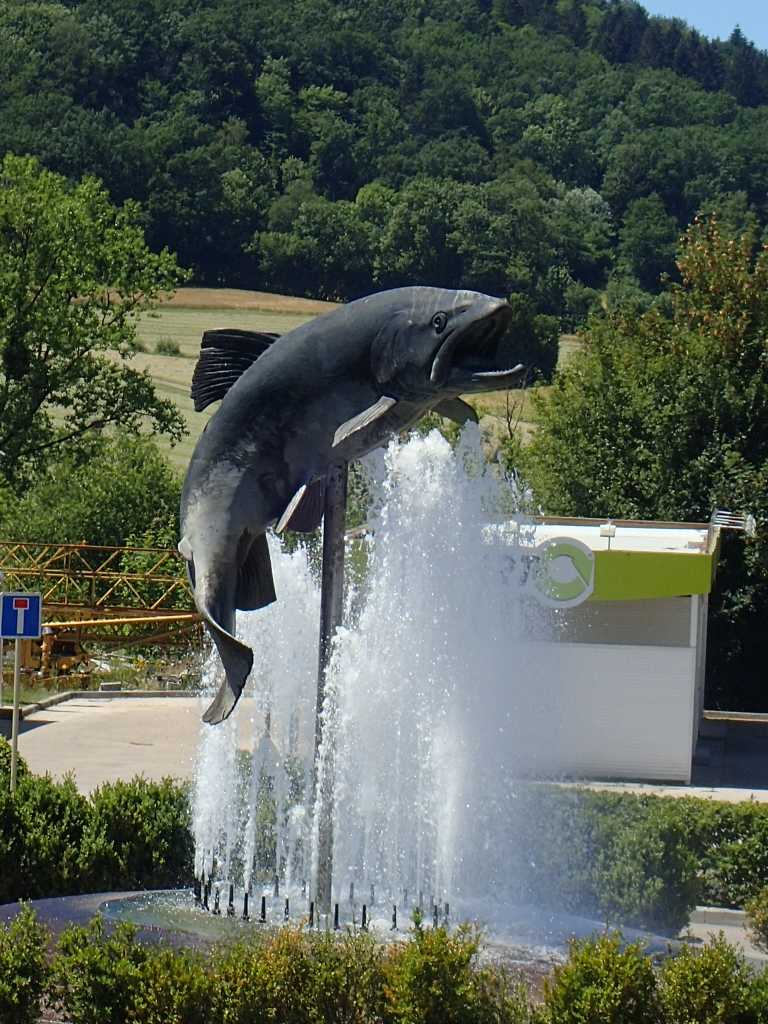
The town of Ornans is strung out along the river and seems proud of its fishing. Eventually we reach our chosen campsite and after washing and the usual stuff, cower out of the sun near the bar.
Sheep! and Clocks! Geneuille to Besançon 14km.
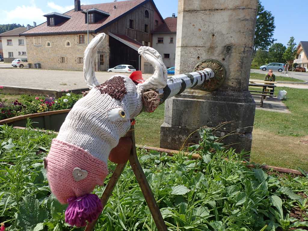
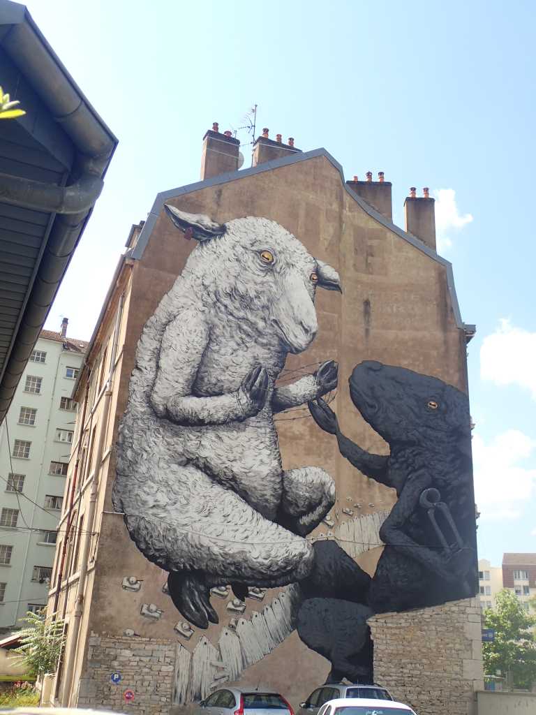
The sleepy hollow of Geneuille was a little more awake when we left this morning no sheep were seen. And we passed quickly through some woods to the edge of Besonçon. On entering town after a coffee in the commercial zone we were amazed by the sheep on the wall. Very well done and anti barbed wire.
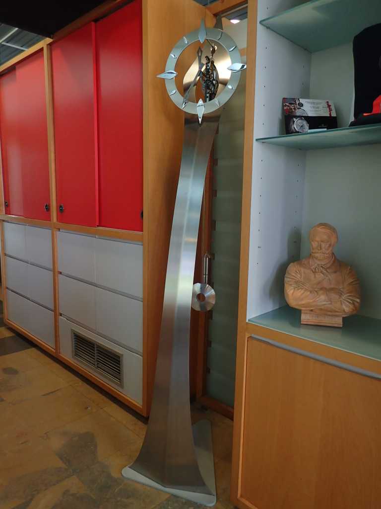
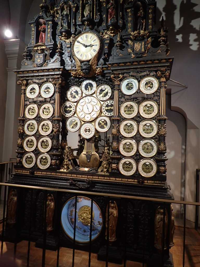
The city seems famous for several things. Birthplace of Victor Hugo, a socialist philosopher called Fourier and clocks! The tourist office had two modern ones there are several clock makers in the town and there is The Astronomical Clock in the cathedral. Made between 1858 and 1863 it is an amazing engine as well as a work of art. It tells time in at least 12 different places, phases of the moon and tides in several French ports and topically for the time in St Helena and in Cayenne, a port in French Guiana where convicts were sent in the past. As in the UK to Australia. The cathedral is in the lots of pillars Greek looking style we have seen in a number of churches over the last week or so.
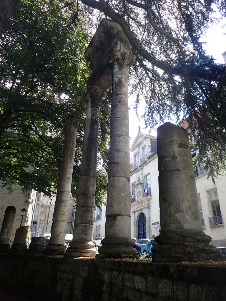
The city is on a large loop in the River Doubs which joins the Saone at another Verdun, not the one you heard of. Since we are now in limestone hilly country the reason for the loop is a rock of harder than the rest limestone on which is a 16thC citadel built once again when artillery was just getting started. The rest of the town is mostly on the near island with several bridges. The one we crossed was built in 19c and the again post WW2. There’s also the remains of what might be a Roman theatre.
Tomorrow we march on over a couple of hills and to a campsite on the river Lou, a few wooded valleys lie between the two rivers. Good training for Switzerland!
Stairway to heaven. Gy to Geneullie 20km
.
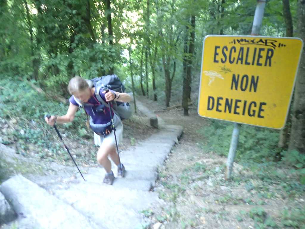
An easy day because 35km is too far in one day to Besancon and it’s always good to get to a big place early. The boulongerie opposite our Gite is open at 5.30!! Whether this normal for it on a Sunday we don’t know and don’t take full advantage of it. Even so we are off up the Escalier du chateau about 50m to the château and church and another 50m on up to the little chapel on the top of the hill. These are good in the early morning light and we reach operating temperature quickly.
The next few hours are a romp through the woods unbothered by the VTT off road bikes, who are starting their race circuit. We saw adverts for this from a distance away yesterday.
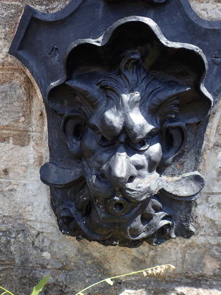
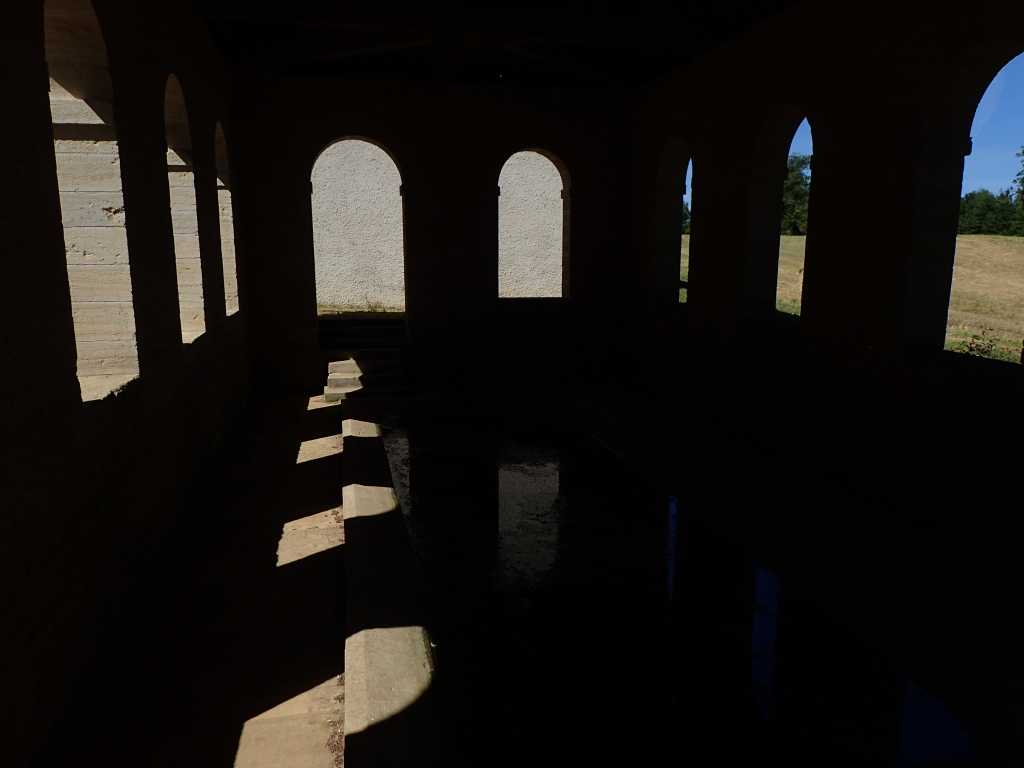
There are lots more lavoirs and the decorative iron work on them is old and sometimes striking. Their use presumably continued until the near universal ownership of washing machines. We manage to get a beer from an enterprising stall in the Sunday market of brocante, Bric-a-brac in Cussy sur L’Ognon the most recent Saone tributary we are crossing and soon arrive in quiet on Sunday, Geneullie and the being refurbished campsite on the bank of the Ognon.
Gratuitous Ease! Sevaux to Gy. 22km.
We leave our lodgings, which were a little more luxurious than expected. Monsieur when phoned by Betsy had forgotten that his Gite was occupé. So we were Chambre d’hote instead. There was a very nice young dog Nya, a very old dog and a pair of China geese. To name some of the occupiers.
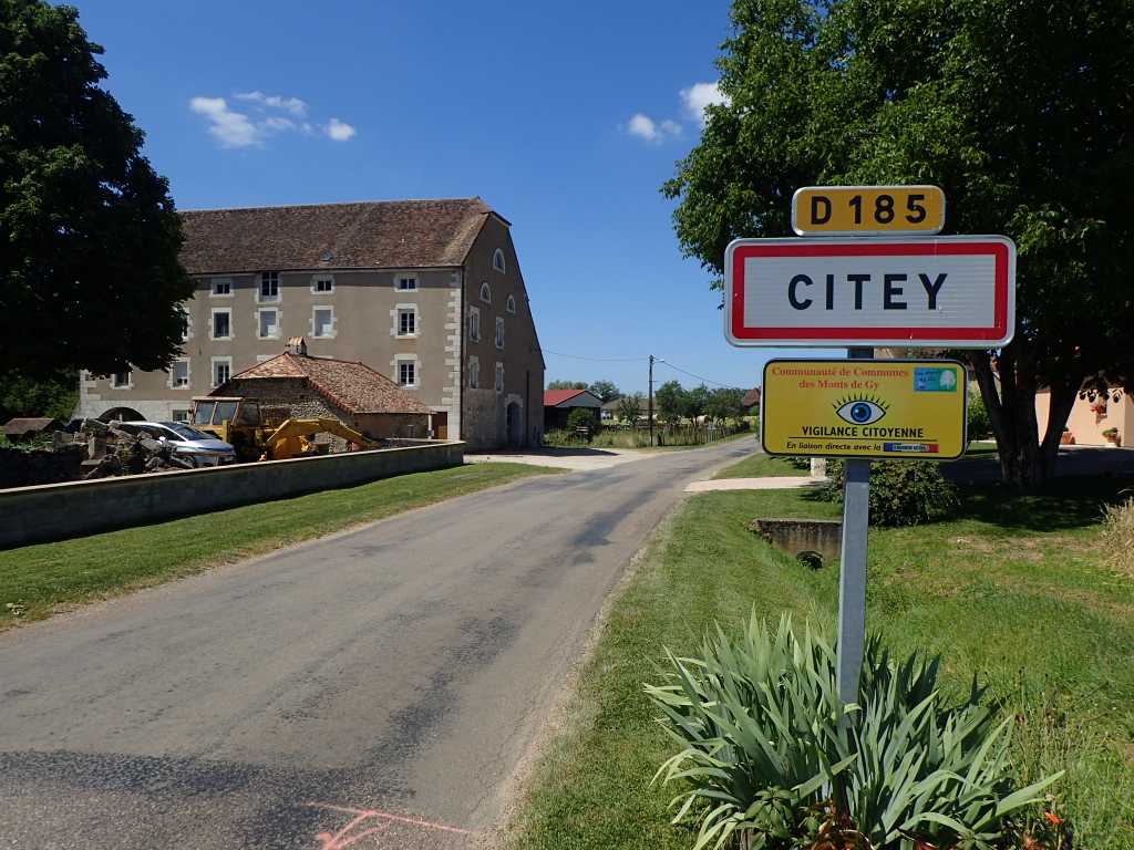
After passing the inevitable lavoir, the region is famous for them! We enter the forest and sprint along quite happily in the shade with various butterflies until after some serious route finding by Tony we emerge into the sunshine. The day warms up and speed drops accordingly. We pass through several small villages with no facilities and similar churches. Angirey, Citey and Ingey all come to mind with gratuitous ee’s.
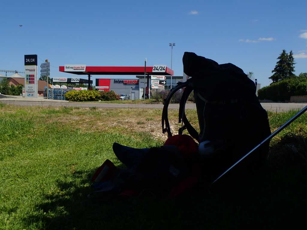
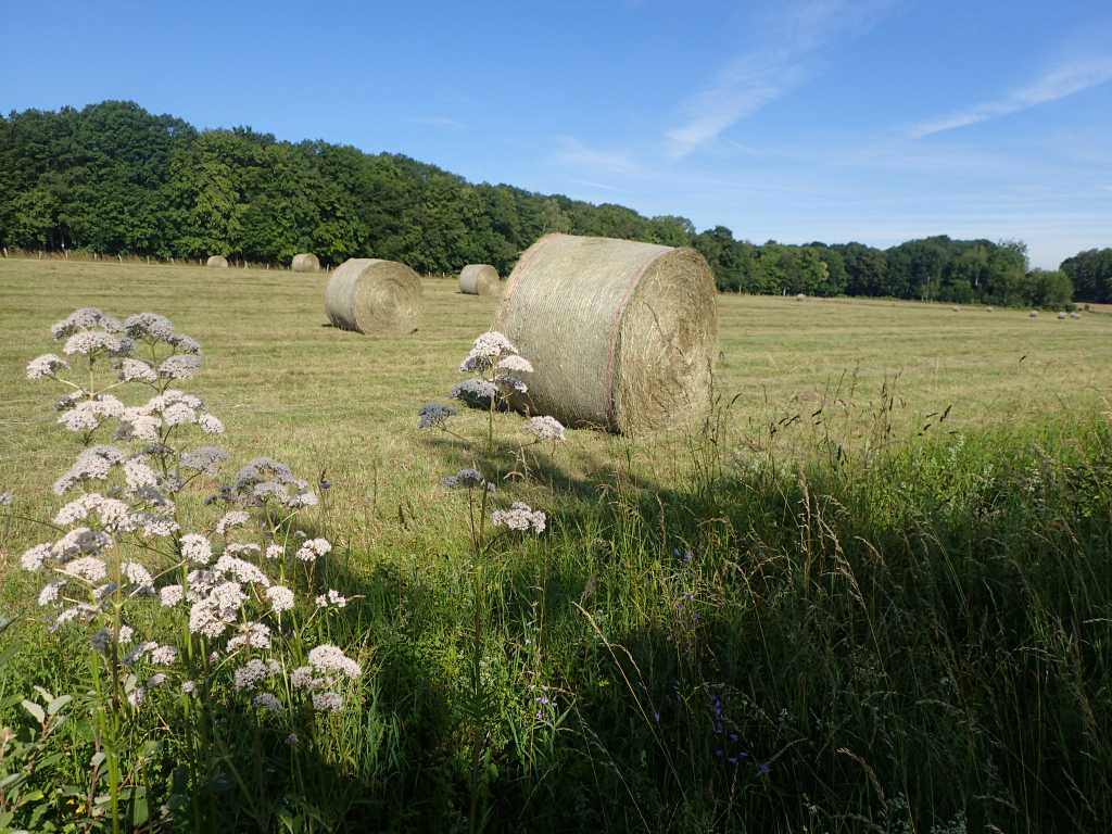
There is a lot of hay making and barley mowing going on in the fields and as the day warms we look for shade for lunch. It is the outskirts of Gy before we find it opposite a Intermarche that provides a little Kronenbourg to accompany it. After some gratuitous ease and recovery we proceed into town to find out what is there. Our lodgings a proper gite this time are available so we get sorted with the washing a bit early.
The land of church roofs. Sayonara! Camplitte to Seveux 27km.
We leave the best little campsite we have known. The music last night may have stopped by 11 it did not disturb us. It is the only site where soap and a hand towel are provided in the toilets as well as toilet paper, bread is available at 7am and it is not full of traveling campervans.
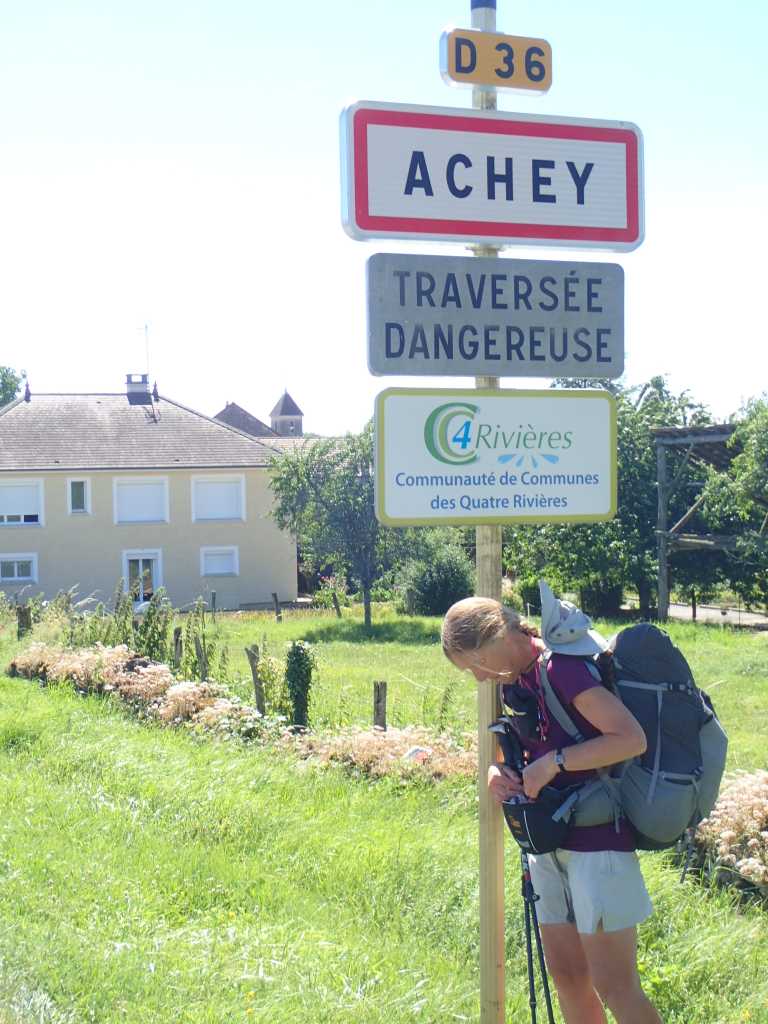
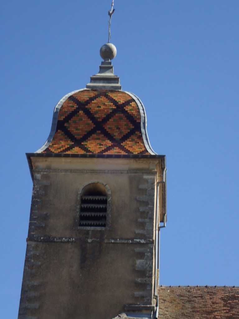
We are on roads for a good way and cross multiple small villages with church spires decorated with coloured tiles. One is called Achey, Betsy finds this appropriate and stops for some paracetamol, her feet are uncomfortable. We classify villages by what they have that is useful to us. Many have a hairdresser or a funeral parlor but no café and no supermarket or corner shop. but Dampire Sur Salon has a salon it is the river down whose valley we walk to the Saonne. It does also have a supermarket where we shop for dinner.
We still have various butterflies including Peacocks White Admirals and the ubiquitous Marbled White. One small village has an interesting bridge, a lavoir with views and a château with arrow slits. In a field with recent haycutting we see 6or7 kites probably Black Kites lacking the deep v tail but reddish in colour. They are very interested in something as were 2 or 3 in a similar field yesterday. Maybe by catch from hay cutting.
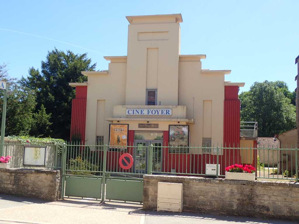
We leave Dampire Sur Salon with its vaguely art deco cinema,, down moderately busy D36 and are pleased to leave it to walk the Saonne canal towpath for a short way and then cross the Saonne. It is a large river even up here and navigable by sizeable barges.
Unlike many rivers on the way we will only see it this once. Sayonara!
Madame Butterfly. or The Running Stones? ,24km Pont de Archots to Champlitte
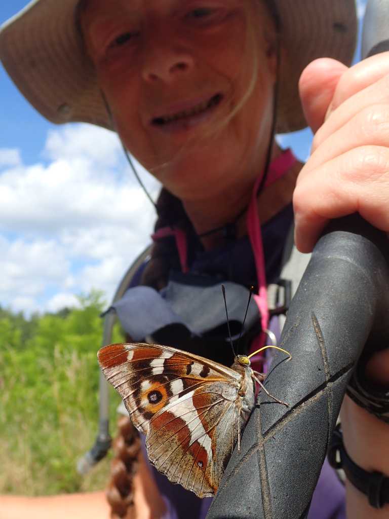
We have a very good evening meal at Pont de Archots and leave after a good night’s sleep. No complaints as to value at just over 120euros the lot. It seems we crossed the water shed in to the Same basin yesterday all the streams are flowing southwards today. At first we go along a fairly quiet country road, the fields are small much hay has been cut some is bailed, the sweet smell chases us across the country. There are flowers on the verges and profusion of butterflies,whites browns occasionally frittilaries. Much less herbicide use here we think. As it starts to warm up we leave the road for three or four km in forest shade. The butterfly population changes slightly. A Purple Emperor adopts Betsy and after licking sweat off her walking pole decides to ride on her waist bag for about a km.
We have our fruit stop in a bit of shade in the fields and then get to the only village of the day. Montarlot les Champlitte only a few km from our destination. There is a bench at the side of the stream by the bridge so lunch is quite civilised for a change.
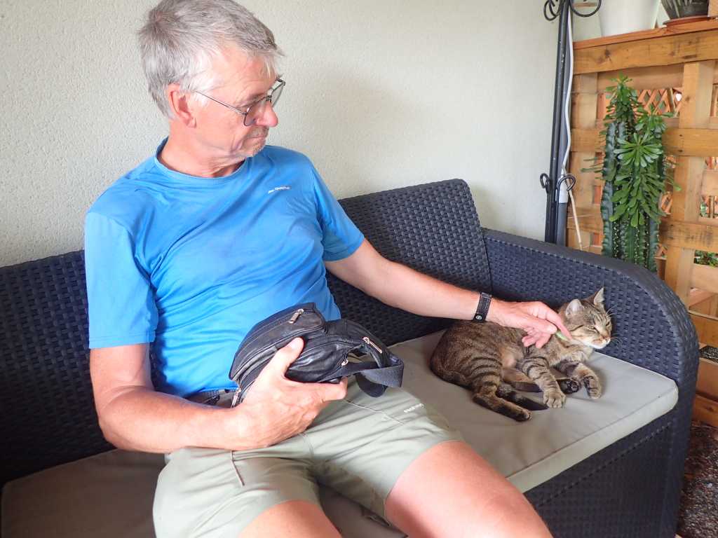
The campsite at Champlitte is small clean and has a nice cat. Tony is happy and invites it to sleep with him. A music evening tonight the local Running Stones are performing. Watch this space.
From the magazine to the frying pan 16km Langes to Pont de archos.
There is a long stretch to the next campingsite and today is forecast hot, 30degC by afternoon
Happily there is a b&b with excellent reviews for evening food. Betsy books us hopefully we are in better hands than our last attempt.
It is a fairly busy road all the way to Chalindrey about 14km but we don’t hang about. It is the quickest route out of the furnace that open fields become by midday. We leave our pitch we looked down on from the old artillery tower about 8am and are buzzed by cars coming to work in the zone around Langres. There’s a fountain come chapel come lavoir just outside Chalindrey. And the town is celebrating the end of WW1.
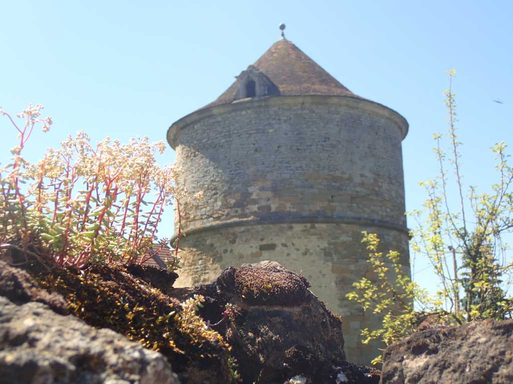
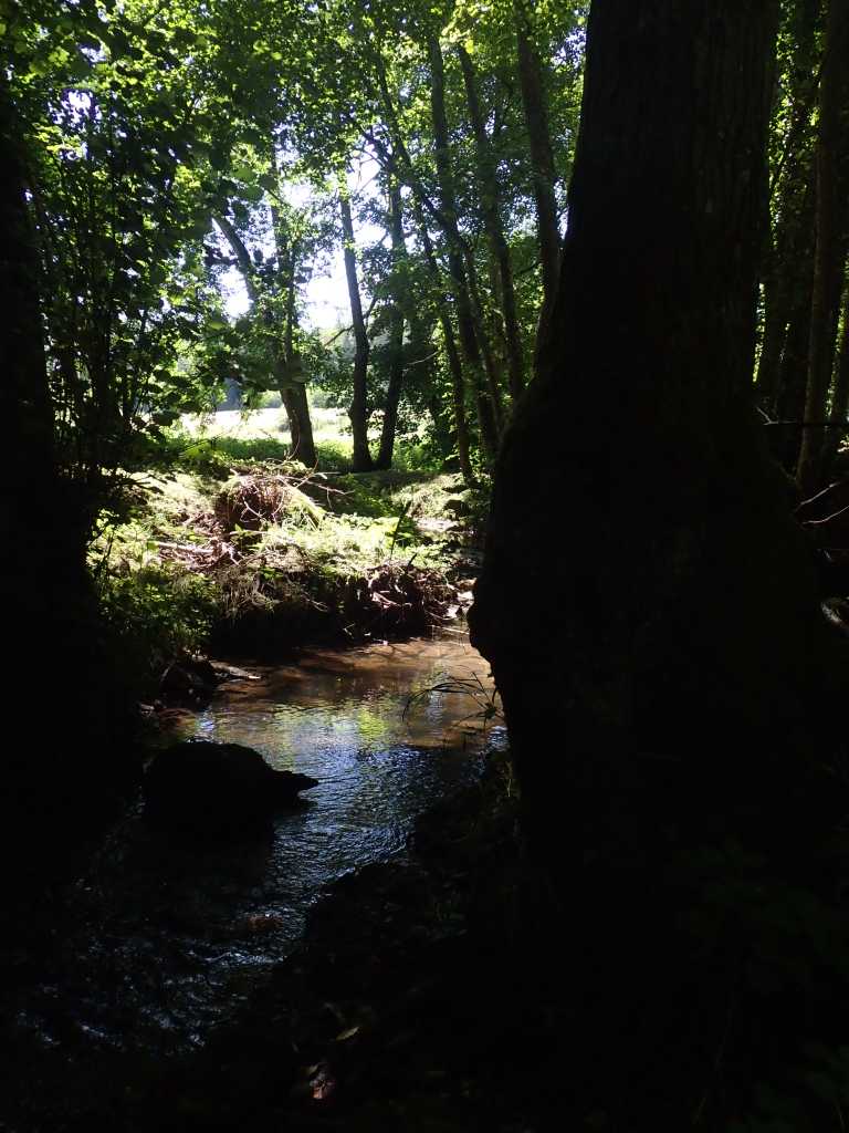
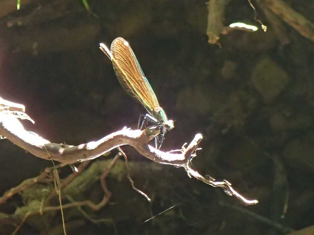
We have coffees or beer it is a bit early at 11 visit the supermarket for tomorrow lunch and press on past the pigeonier (marked pig on the map) in increasing temperature to the Pont de Archots. The map suggests a wooded stream an excellent place to while away a couple of hours until we may be welcome. Damselflys seem not mind our joining them around the water in which tiny minnows live.
A land worth fighting over.??
