.
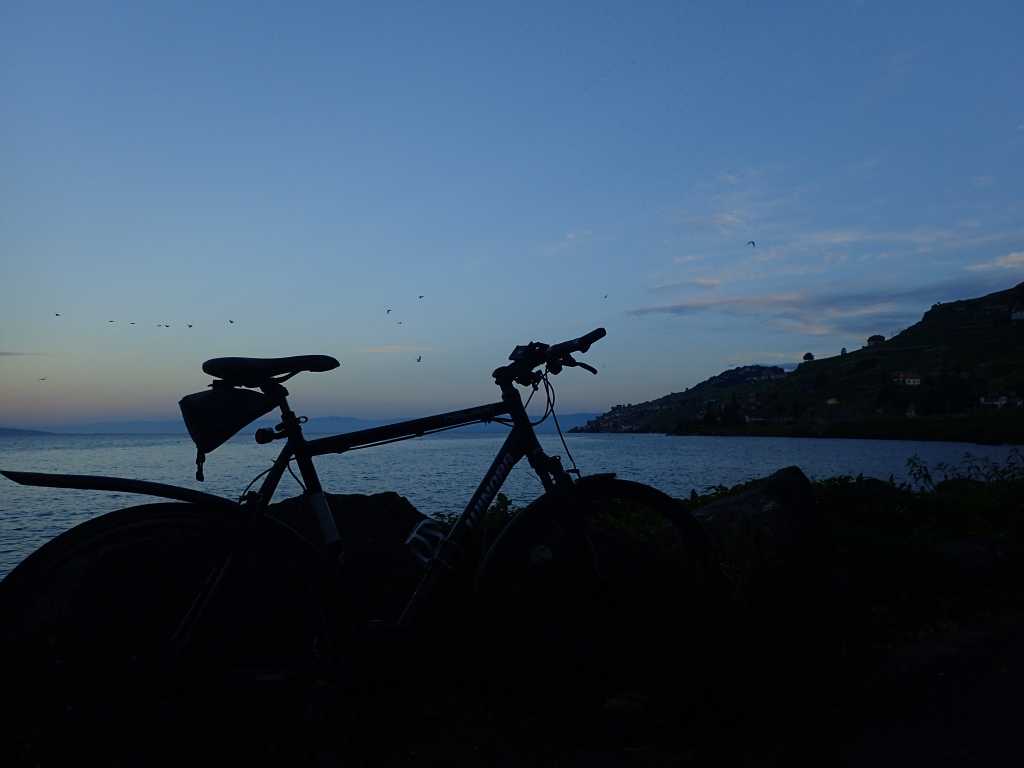
We are up as light starts to creep down the mountains on the south of the lake. Several hundred cormorants and grebes sweep past a hundred metres off shore. We are camped 20m from the water and it was a pleasure to cool off in it yesterday. A group of cyclists arrived and camped around us like a flock of birds alighting. They filled a lot of spaces and the team felt quite at home. Just like Glastonbury.
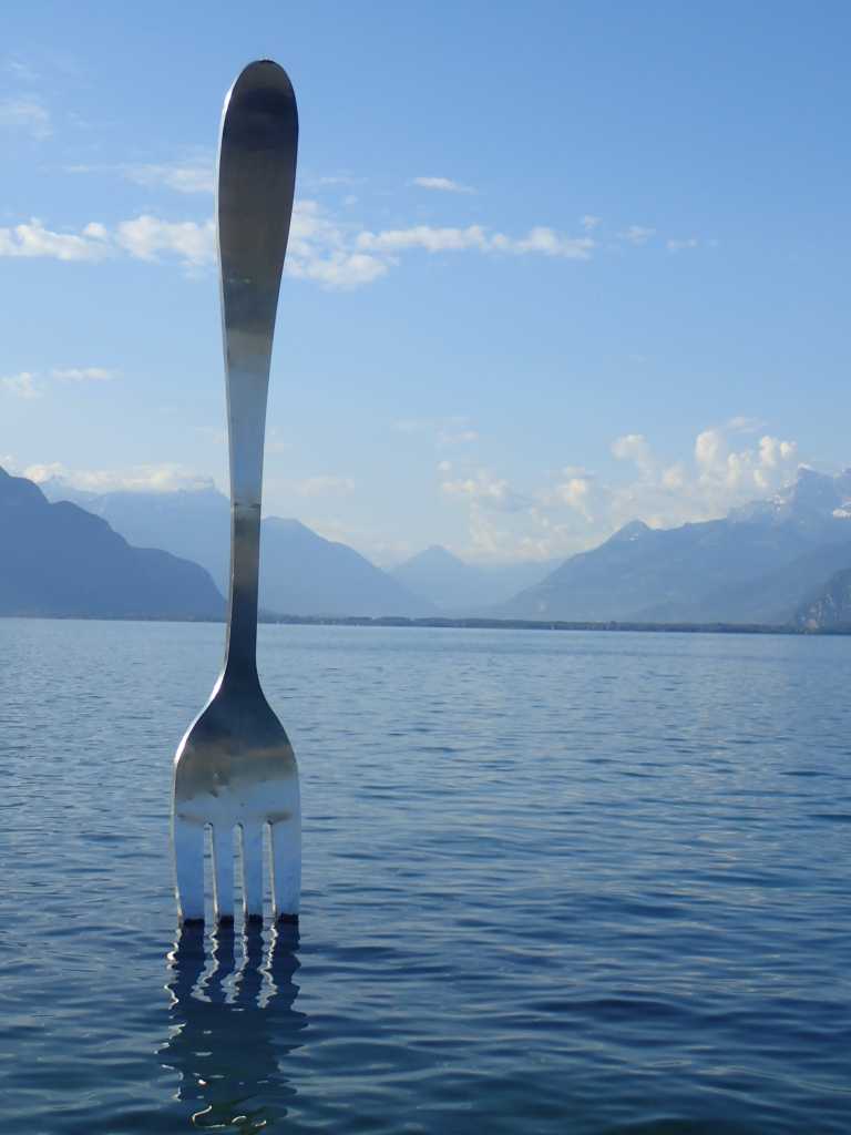
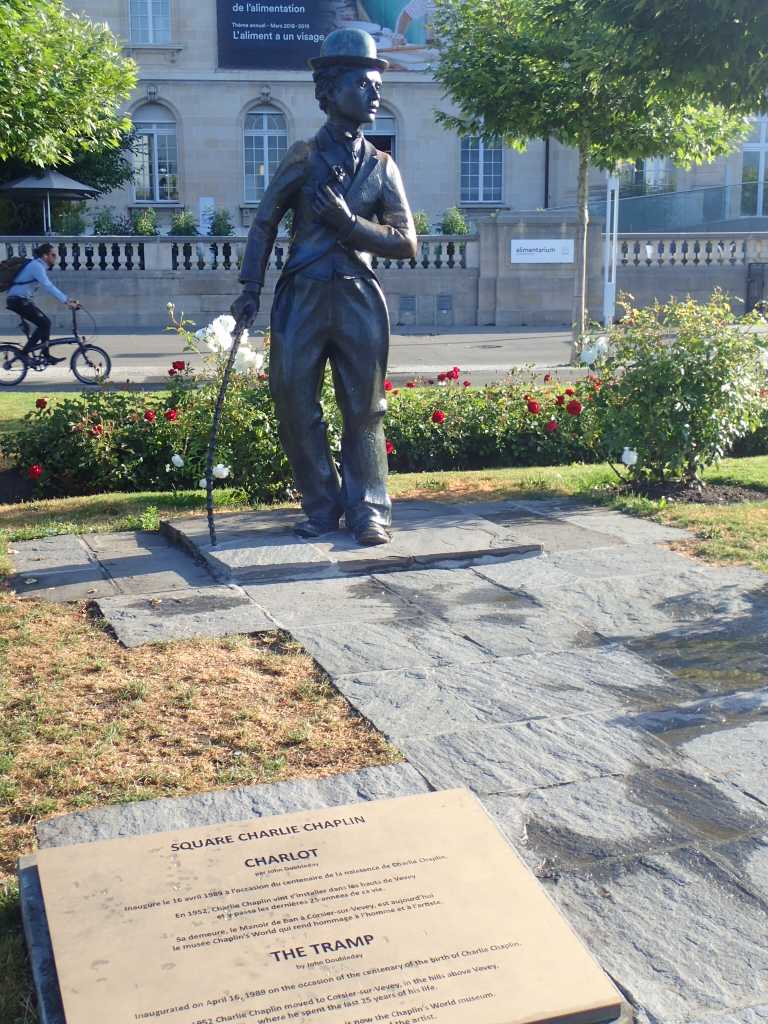
Walking through Vevey we spot Charlie Chaplin’s statue and a sculpture of a fork in the lake courtesy of a food museum. Just some of the random bits of public art around the lake, some better than others, but all providing a photo opportunity with an awesome backdrop.
We wander happily around the lake. Amazingly the route stays at lake level. Walking though Montreux where the Jazz Festival is in full swing we pass the food and drink tents that will be swinging tonight! We are heading for Villeneuve at the end of the lake. On the way we see Freddie Mercury, Igor Stravinsky and a host of other people associated in one way or another with Montreux,well their statues anyway. We also met a lady whose husband makes mechanical sculptures that we see later as we progress.
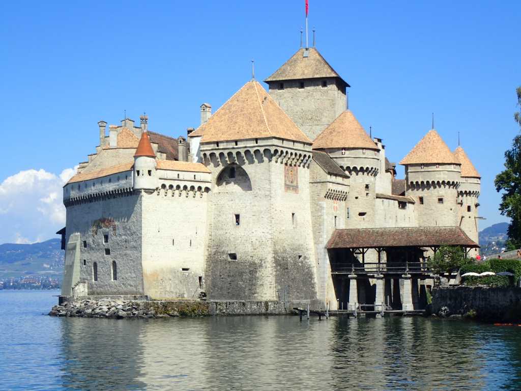
The lake ends at Villeneuve and just before it there is the Château de Chillon, the ultimate fairy tale castle built out to into the lake. Betsy wonders which turret she should let her hair down from!
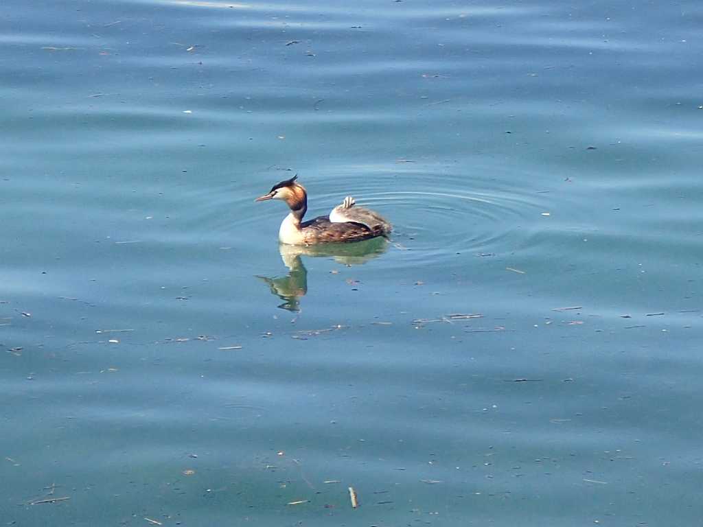
It is now midday, we eat some lunch by the lake and try to work out what to do next. A grebe sitting on it’s mother’s back gets a huge ah! And many electrons are inconvenienced to achieve a good shot.There are problems with campsites up the valley . Too many in wrong places and big gaps. We decide that more train journeys are needed to shuttle back and forth and so get a train up to Martigny. First we have to go back to Montreux both the trains leave from Platform 3B ,given previous experience we are very careful! We say goodbye to lovely Lake Geneva.
As we hurtle up the valley on a Swiss supertrain we feel we could but shouldn’t get used to the efficiency of Swiss public transport. The campsite in Martigny is very pleasant and we need to remember that we are not here yet, as we need to walk it over the next two days.
It’s getting confusing again!
stroll around the lake. Green on left blue on right. Lausanne to Vevey.21km Flat Ha! Ha! This is a coastal route.
The gods got fed up last night there was a thunderstorm and it was still raining at 6am. We got up after digging Ray out of bed. He was quietly assuming that we would be sensible and wait. No chance.
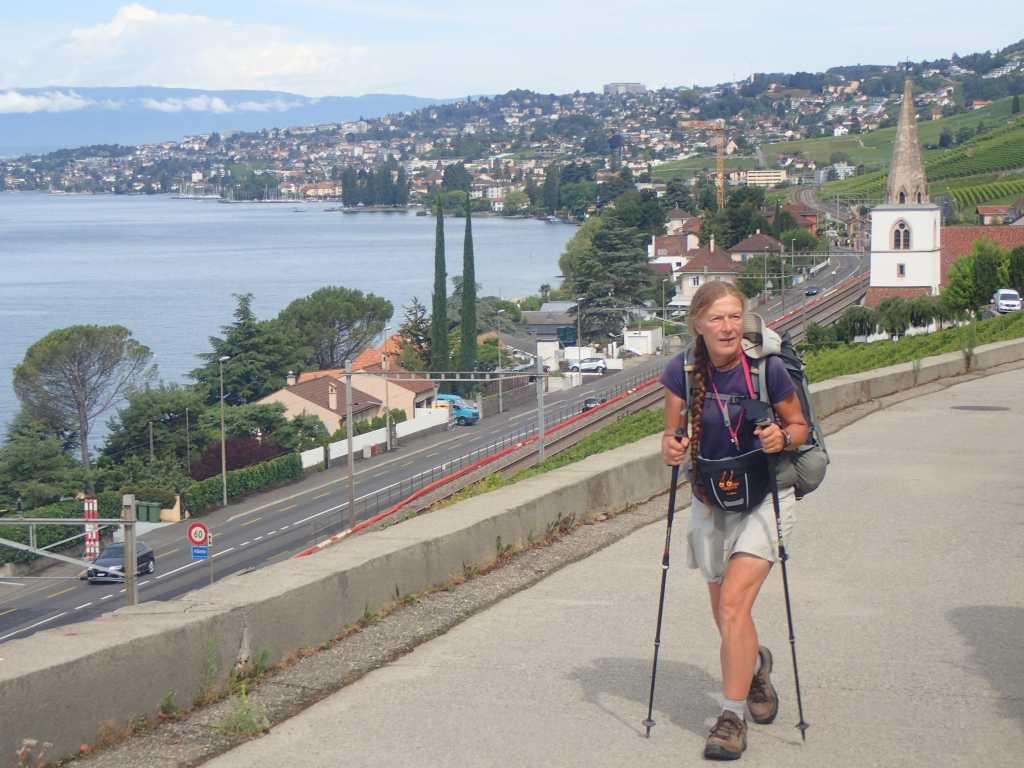
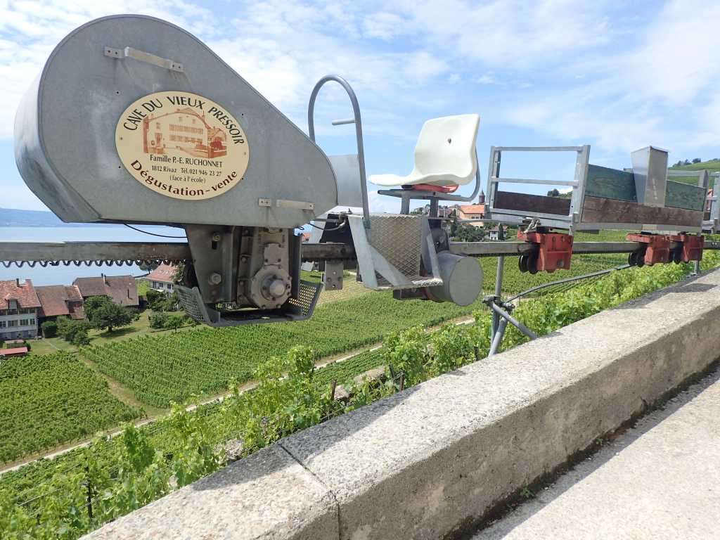
An easy stroll for petit dejuner next to Château Ouchy. This is next door to the Olympic headquarters and given aches suffered by most athletes seems appropriate. It has stopped raining now and the Olympic spirit is blowing across the lake. So we start the training along the coastal path. As most will know a body of water must be level but the path around it never is. We soon enter vineyards on steep slopes and get some sort of fellow feeling for those tending the vine although there are some labour saving devices attached to the steep lakeside.
The cog version of the Stannah stairlift heads up amongst the vines where green bunches of grapes are starting to swell. At every corner a new view across the vines to the lake and the mountains tempts the camera. Our route takes to the hills as some expensive lakeside properties impede our progress.
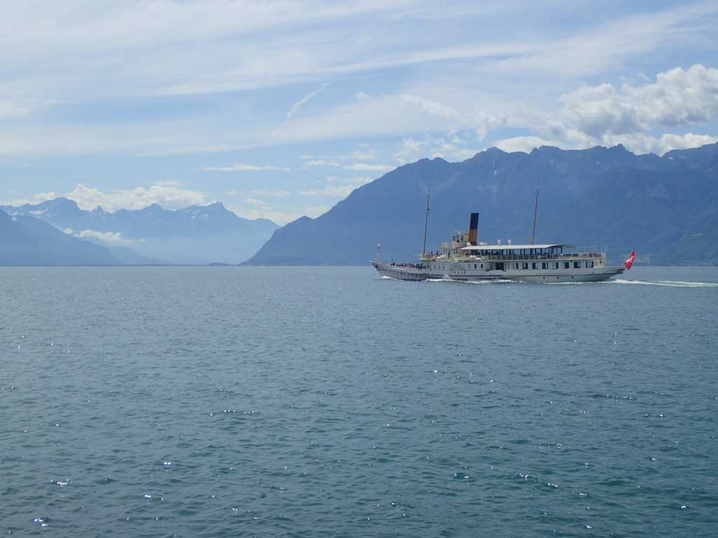
The morning clouds clear and the heat builds with a blue sky and high clouds. An occasional lake paddle steamer fills the foreground of the distant glaciers and high tech trains glide by.
We stop for lunch by an old church and then walk on through the vineyards to arrive at our campsite on the lake to find many tents belonging to people staffing at the Montreux Jazz Festival. As Tony remarks if you have made your money, why would ayou stay in Rochdale.
The Olympic spirit blows on the lake! Orbe to Lausanne or maybe, Penthalez to Lausanne. 15km. Lac Léman or Lake Geneva is at 375m current hieght 450m.
Either way the confusion should be finished and a sequential order of walking resumed after the bus and train rides to Penthalez. It’s hard leaving a nice site we have enjoyed the town and over the weekend while we learnt the ropes of Switzerland it has been a refuge from the heat.
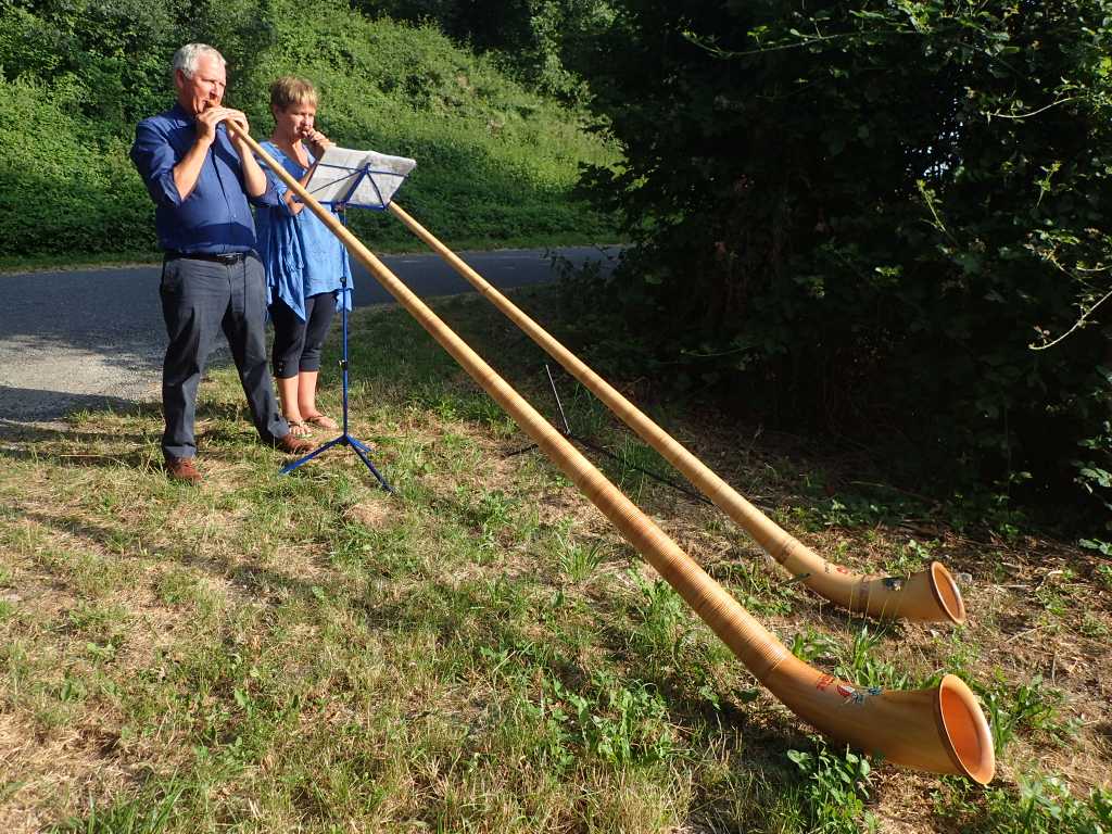
The way from the station into Lausanne is not too long but it gets hot quickly. It is enlivened by meeting two Swiss down a quiet country road practicing on Alpenhorns. And making a quite delightful sound.
We get to the campsite by midday and settle in. We get free bus and metro passed for a day and learn that Lausanne is the headquarters of the Olympic games. Started in 1894 reinvented by Baron Pierre de Coubertin may his spirit blow wind across the lake in an Olympic manner. As it says in very flowery language in the free city tourist information Ray got from the campsite.
We find the lake we are maybe 100m from the edge but after a bit of a rest set off via bus and metro to the centre of town.
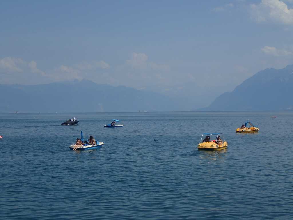
A paddle steamer described as belle epoque in the fanciful guidebook scatters the bikini clad pedaloists on the lake as we look across the lake in trepidation to the Alps.
Lausanne cathedral is at the top of the hill via an ancient wooden roofed set of steep stairs. We emerge sweating from the heat under a carved doorway of saints and into the cool of arched stained window quiet. The lady in the office gives us a stamp in our pilgrim passport and advises us to cool off in the lake.
Back down the hill by metro,past the clock counting down into the next olympics and into a bar for a bierre blonde.
After a confusing episode of shopping in which we win a packet of peanuts with a scratch card , we head for the lake which is beautifully limpid blue and cooling.
Back by our tents as the heat subsides we drink wine ,eat crisps and feel the Olympic spirit infusing into us for tomorrow.
Buses trains canals and towers. Orbe to Penthalez (or vise versa) 19km not much up or down
.
We start early it is very hot here at present and afternoon walking is unpleasant. This is a reverse trip across the network of rail and bus that we are slightly more expert at following than we were.
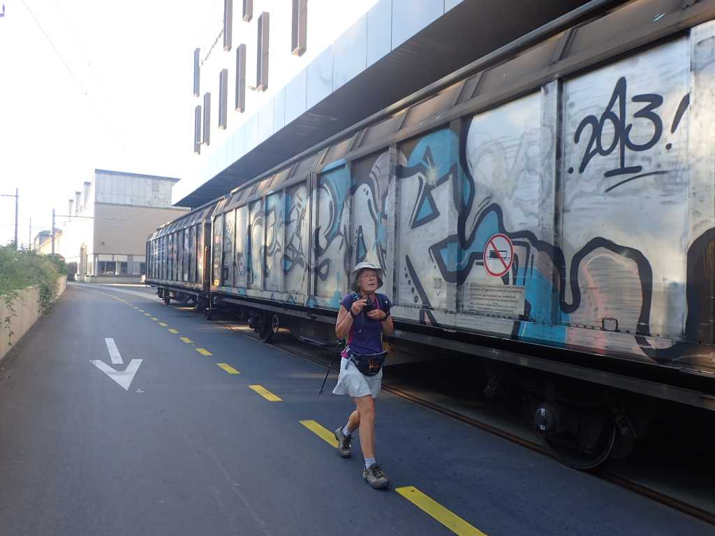
A café open on Sunday provides some breakfast and baguette for lunch.We follow attain line through an empty industrial estate.It would be much more interesting on a weekday.Some trucks are covered in street art. Soon we are alongside a river in a culvert which leads to an interesting area of defunct canal. A very early 17thC canal called Canal de Entreroches This was a fairly successful attempt to link the North sea ports of Holland with the Mediterranean. It carried wine and others goods for nearly 200 years before being superseded by railways which still pass in tunnels next to the defunct canal cutting. Showing again that pilgrim routes follow the easiest route from a to b.
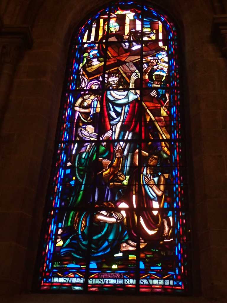
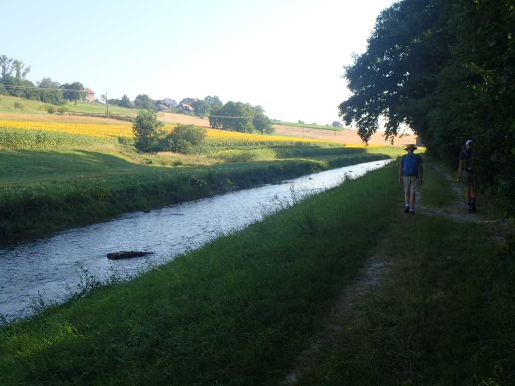
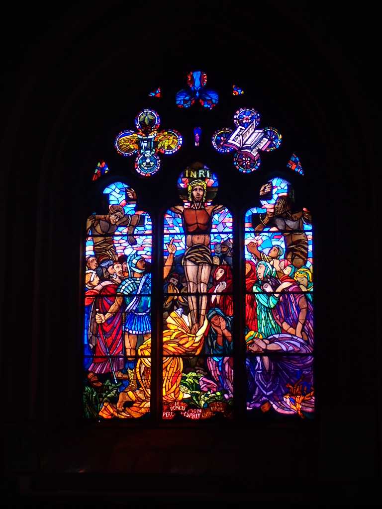
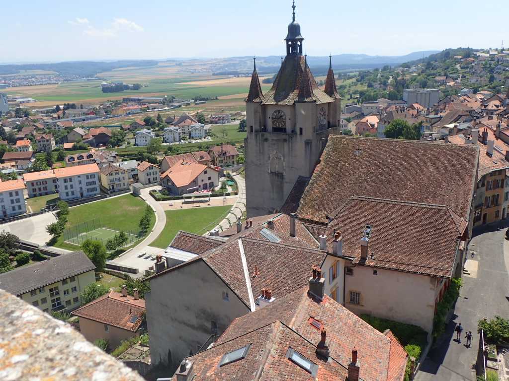
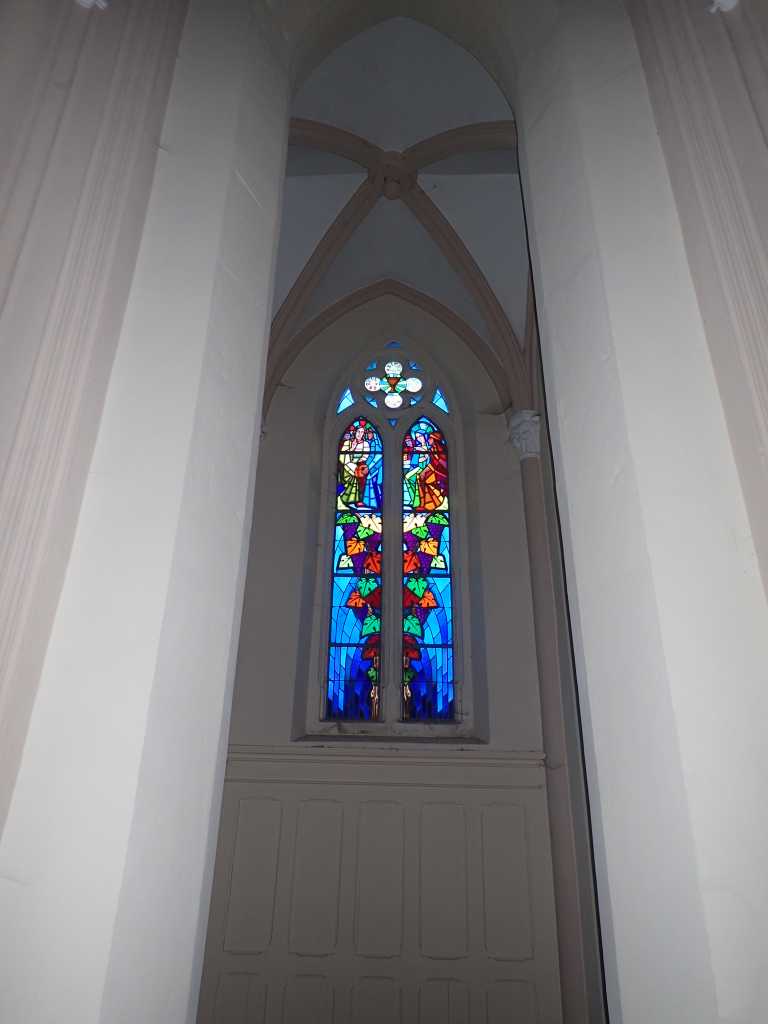
We are soon out in open fields with another river flowing in deep leveed culvert on which recent work has taken place. Flooding in spring is serious here and might eat into the more than half of domestically produced food. We arrive in Orbe near the Co-op petrol station beloved by Tim and Ray. A climb in increasing heat the steps to the postern gate and the 13thC round tower which we have tokens to visit from the roman mosaic visit yesterday. A bogoff too tempting to resist. Excellent views of town and surrounding areas. The church in town is open too. Some excellent post war stained glass. The fifties must have been a good time for stained glass workers round Europe.
Home for a lazy afternoon in the shade.
Yodelers. Not fully trained! Disasters Averted. Saint Croix to Orbes. 18km descent from 1200m to 500m
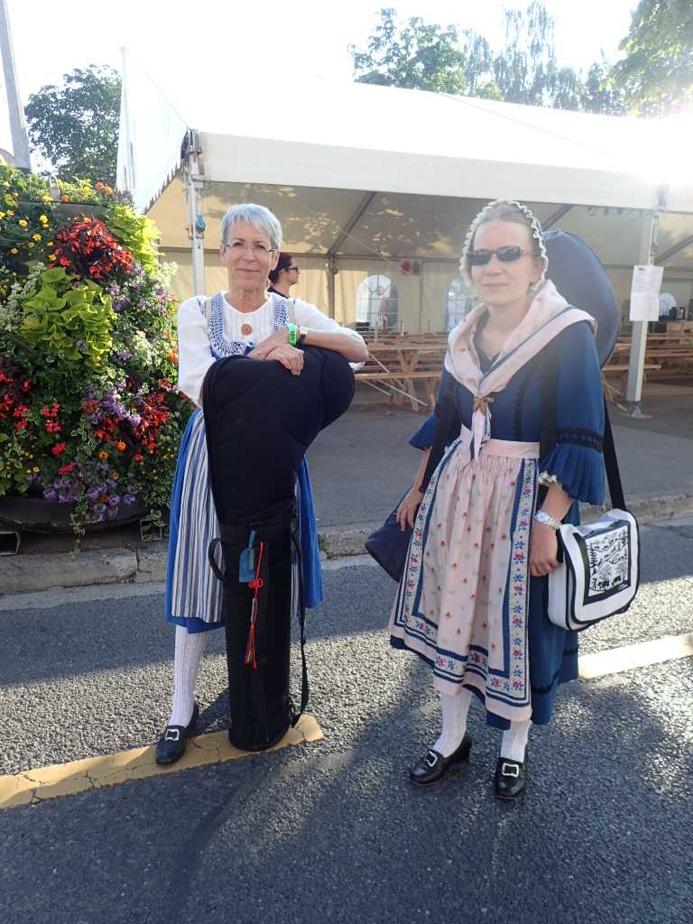
While shopping Tim and Ray last night check the bus times at the bus stop by the Co-op, a great supermarket. It appears that there is no bus back to the station in Baumes to get us back to St Croix to walk back to the campsite in Orbes, because it’s Saturday. Confused you will be! Tony and Betsy go on the net. Fortunately a good signal and with help of Monsieur the campsite work out an alternative route back to St Croix. This involves going via Yverdons Les Bains where a yodelling festival is taking place. So extra buses scheduled. We start early. The bus arrives we get to the railway station and find platform B3 and wait, a train arrives and sits with doors closed. On another platform a train departs. IT IS OURS!! There are two platform B3s how does that make sense?
We only loose an hour and see some early yodelers out for a walk. Sadly they do not perform. Eventually we get on the right train and arrive a little late for our descent into the Gorges de Covatanne.
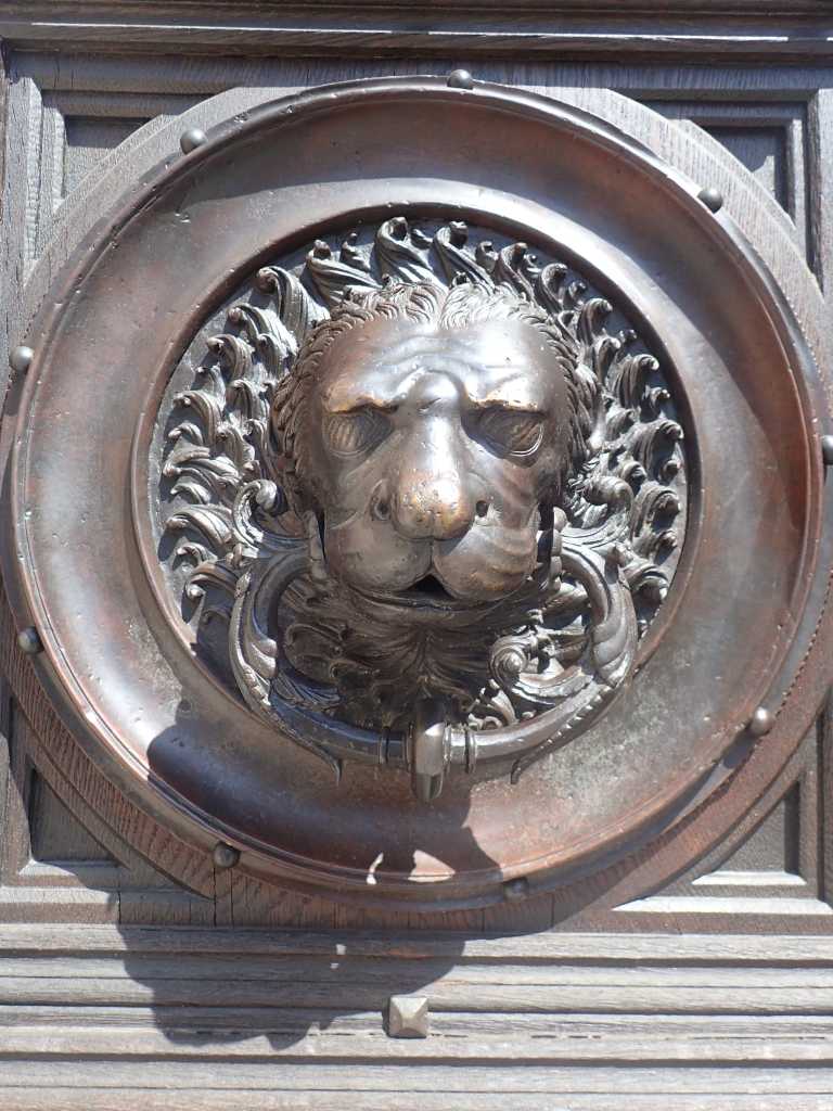
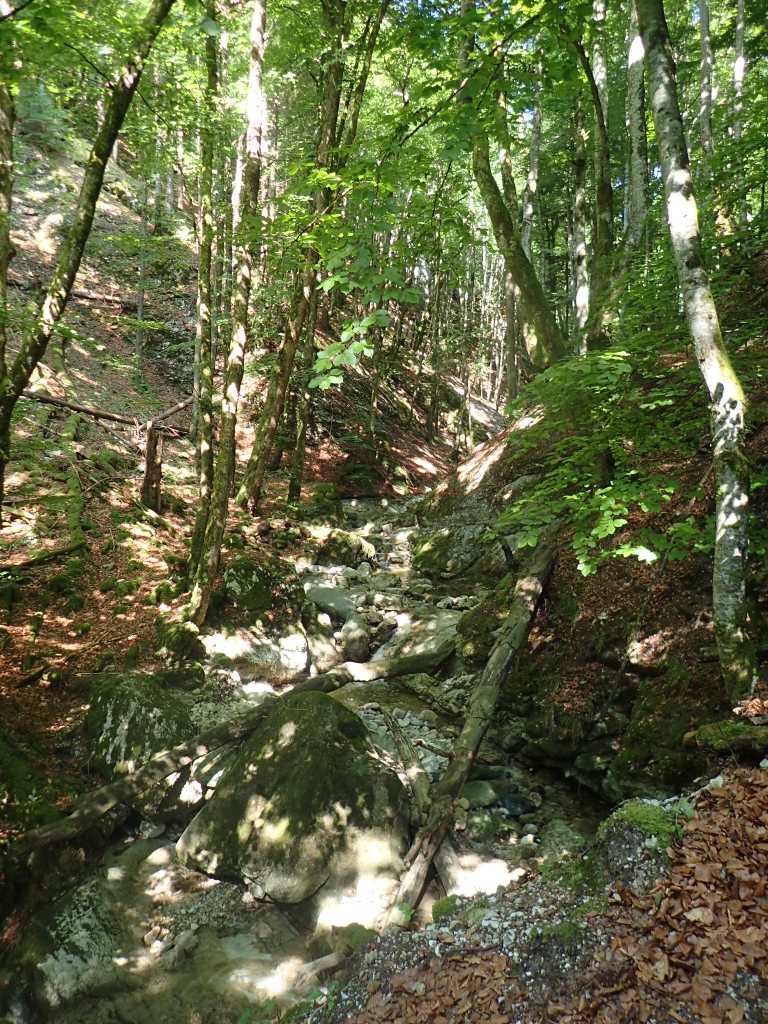
This is a deep cleft in the limestone escarpment that we descend from. Above this during the day we see multiple parapeintes soaring with red kites and other raptors over the fields. As well as the post office with more knobs that a chest of drawers. This is a beautiful valley reaching down to Lausanne and it is easy to see why a high end Roman Villa was built here nearly 2000 years ago.
The mosaics that testify this are in a site that can be visited for a few Swiss Francs and are better value than the beer.
When we get back to our campsite we are hot and wanting to wash and shower. After a significant regrouping Tim and Ray set off to shop for food for today and Sunday tomorrow. IT IS CLOSED! They learn that most supermarkets in Switzerland close at 5pm on Saturday. They cannot be beaten, Tony and Betsy solved their problems, they can do no less. Google maps is their friend. It shows no open supermarkets in Orbe. Except a Co-op petrol station on the other side of town. It is, maybe the best stocked petrol station in Switzerland seems to be frequented by those who had not got to the supermarket. After a round trip of 4km or so and a visit to the main wine shop in town they return triumphant to “Where have you been.”
More walking tomorrow. It’s late again.
We get to the border. Pontarlier to St.Croix. 22km max hieght 1200m.
Off from the campsite on the outside of Pontarlier after some breakfast and a skip up the highway dodging the commuter traffic.
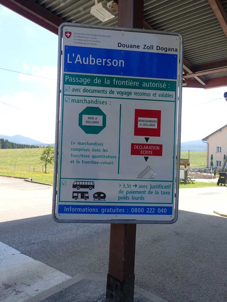
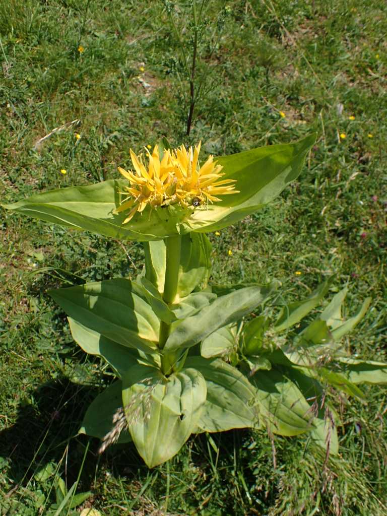
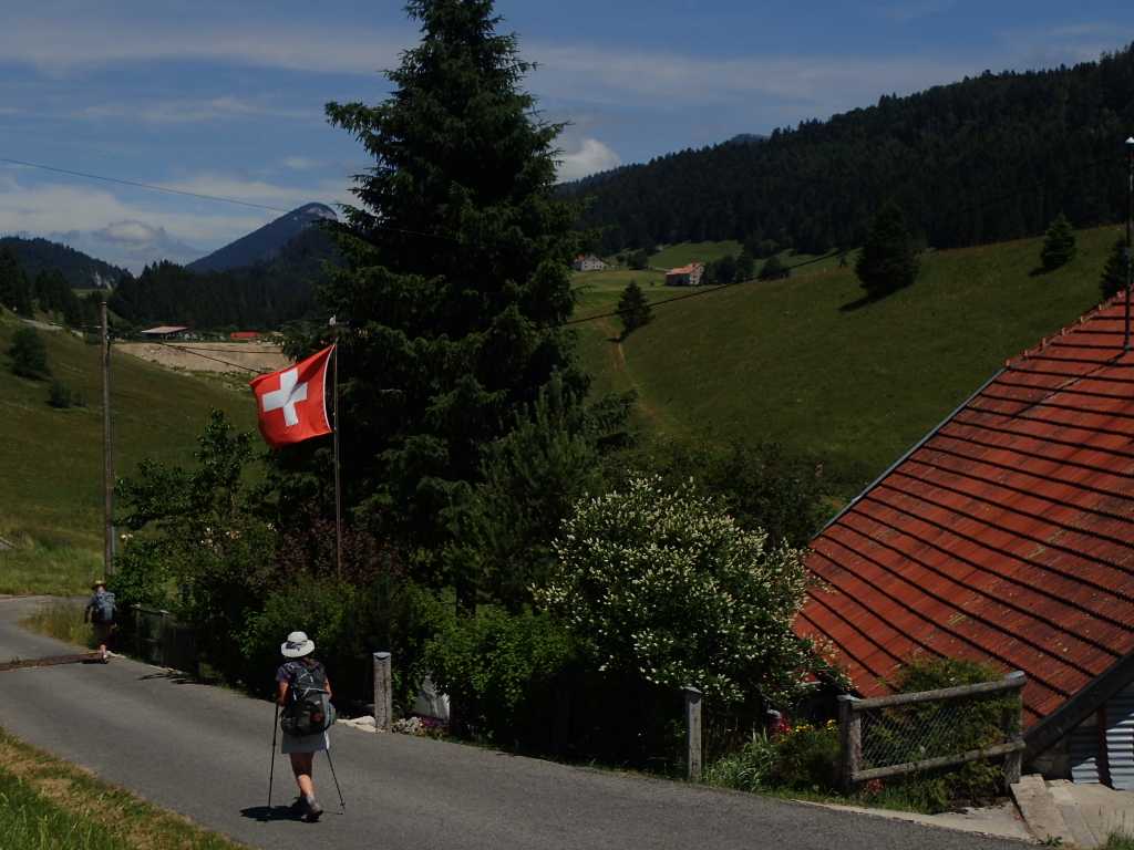
Today we leave the country of the golden lion (it took some time for us. to realise that the flag of a gold lion rampant with red claws claws and tongue on a blue background is the flag of the Franche-Comte. After passing through the Windy Gap between the Château Joux and the rest of the escarpment we get coffee. Onward the reaugmented group climb steadily and eventually get to Les Fourgs just above the border and get the first beer of the day. It is not cheap, a possible harbinger of the border and the next few weeks expenses. A few metres and a km or so down and we encounter the abandoned Douane base on the road. Had we been challenged we would have had to confess to several slugs who were hiking with the fortunately still sealed ham slices! The Swiss seem not to mind, the butterflies do not change and abound around the verges, there is slow change in architecture more related to altitude and the possibility of snow than to nationality. The scenery is wonderful limestone outcrops and fields including the Gentians used to flavour some of the products of M. Guy who we visited yesterday. Ray and Tim are confused, to them gentian is violet! A result of medical education, but it turns out the flowers are yellow. We eventually top out just under 1200m and descend into Saint Croix.
It should be mentioned at this stage that although we hope to spend the night in Saint Croix we have No information about this. The tourist office lady tries hard but fails, there is no campsite or reasonable accommodation.
PLAN B. We get on a train. This goes with a bus ride to somewhere we will get to tomorrow! about 500m from the bus stop is a very nice campsite in Orbes. Where we will be tomorrow. The bus and train back to Saint Croix tomorrow on Saturday may hang together. We shall see, but a safe haven with a good supermarket at the bus stop is ours for three nights while we negotiate this tricky bit of Switzerland.
Another change in the country side is, while the yellow arrows continue pointing to Rome, there are pedestrian walking signs and peculiar turnstiles in the footpaths.
Enough for now,a long day and an early start tomorrow.
In the town of the Green Fairy. Ouhans to Pontarlier. 21km 300m of true altitude increase.
We left the house of Monsieur and Madame Saloman (they don’t make boots) but monsieur does make his own delicious smoked sausage. We had a very good dinner.
The morning starts and it’s off up the wooded slope steeply!to almost 900m
Then across along roads into Pontalier. Vuillesans a little village on the way has a poo elevator by the church
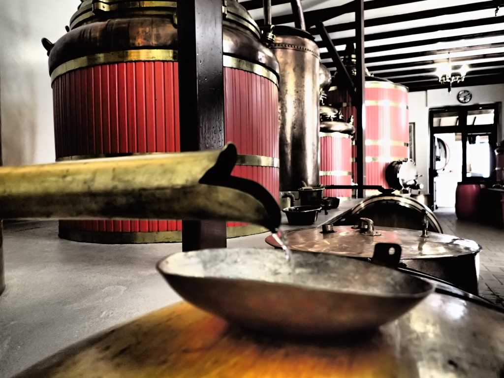
Pontarlier is the home of Absinthe. It used to be the active ingredient in various lethal, turn of the century replacements for wine, when phyloxerra wrecked the wine producing abilities of France. The absinthe producers such as Pernod and Ricard turned to less toxic alternatives. Some such as Guy who we visited in town, survived by producing herbal alcoholic beverages until showing that in moderation (levels a tenth of previous) safe products could be produced.
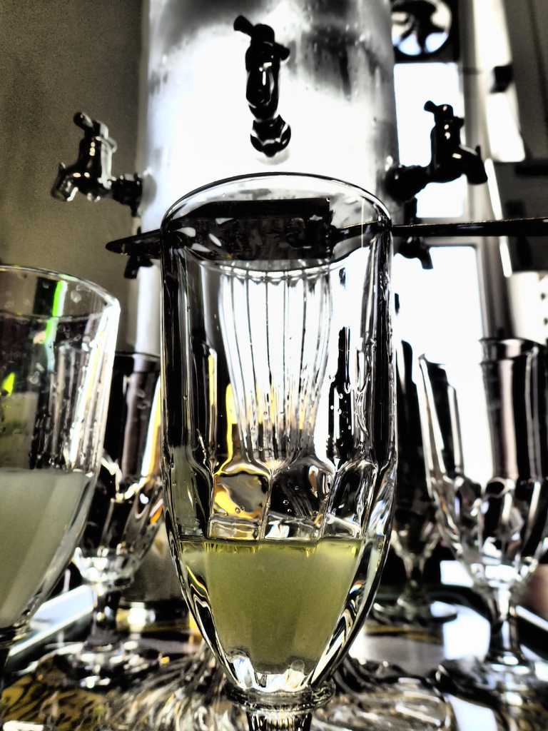
Where does the Green Fairy come in? Absinthe is bitter many like some sugar to sweeten it. This is difficult to add as it crystallises the absinthe. This the spoon and the dripping of iced water into the spirit. The resultant cloudy greenish mixture can when under the influence of both neuro active substances look like a green fairy in the. glass.
We left the distillery HAPPY. And set off shopping and back to camp for dinner.
Ray flew back from UK yesterday and met us just in time for the distillery trip. Surprising? No all planned!
Gorges Walking! Ornons to Ouhans. 21km 768m start hieght 340m finish hieght 650m
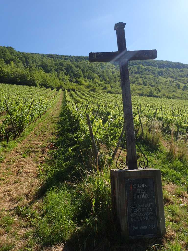
We are starting to climb now. Hopefully we will have legs and lungs ready for St. Bernard. The day started easily with a walk on an old ex railway track for a few km up this lovely valley. We pass several more little campsites and get coffee in Lods having crossed the river Loue. We follow the river to its source today. The map looks impressive, the valley narrows as we march upstream until we start steeply up the left side to the little village of Moutier St. Pierre where we pass a small area of vineyard clinging to the side of the valley, blessed by a cross. We learn the valley is proud of its past wine products but sadly virtually non is made in the area now, first phyloxerra then lack of labour after WW1 caused even the monks in the monastery who had a reputation for quality in the 19thC to stop producing.
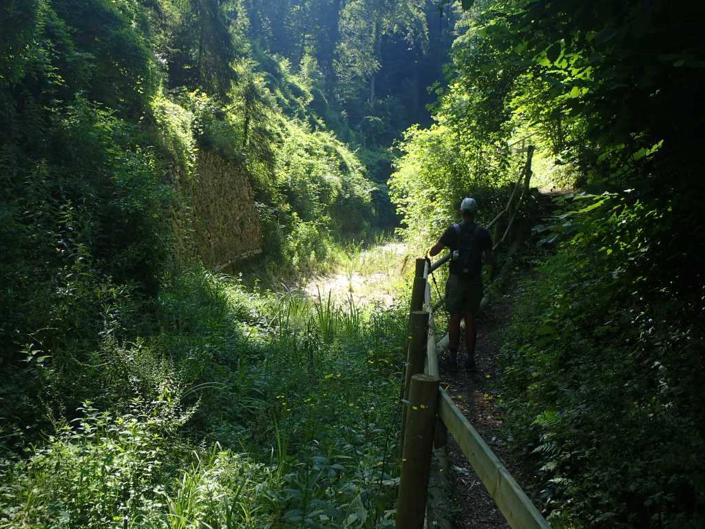
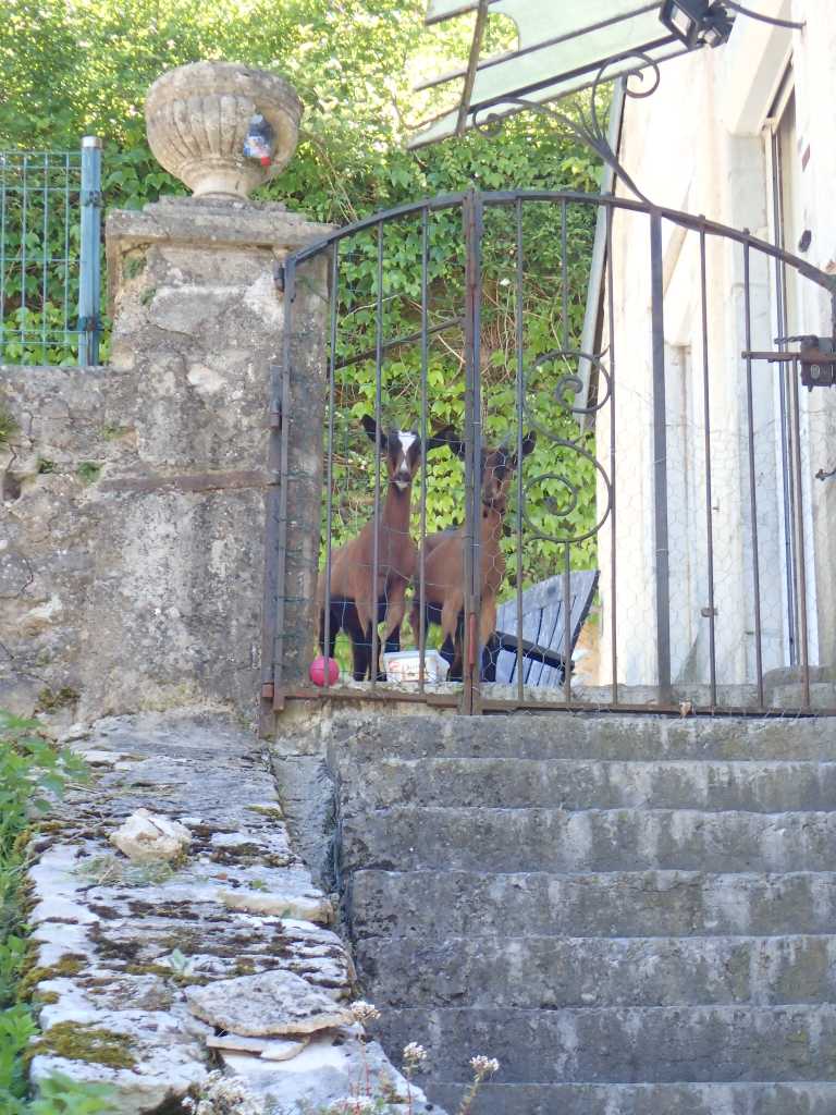
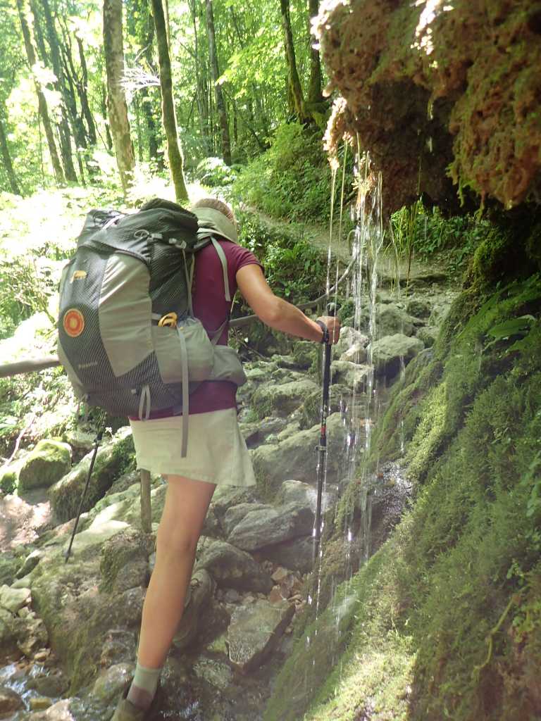
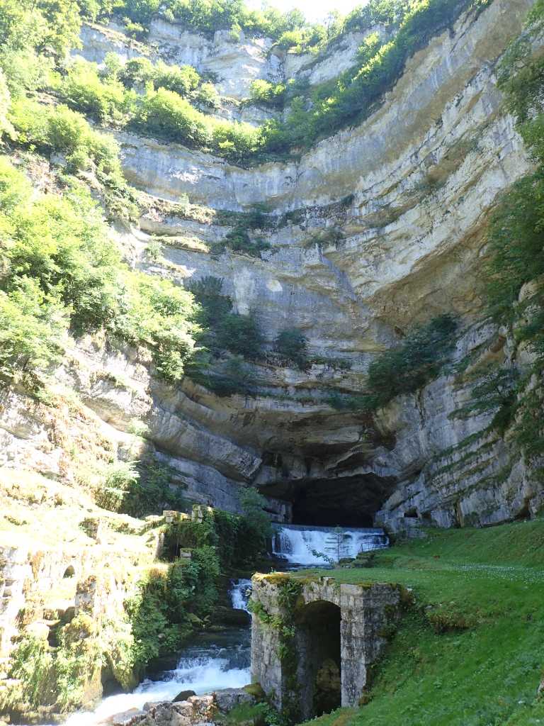
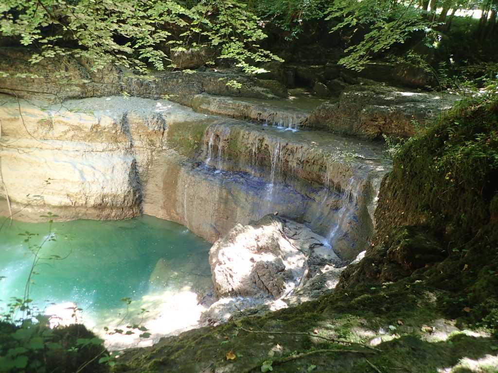
We get some fruit for tomorrow and a baguette for lunch today in Moutier, we are spotted by two kids shut in a garden. They bleat pathetically at us. The valley narrows further we descend into the Gorges de Nouailles past a small hydroelectric power station and start to track up and down the right side of the river. The gorge sides are heavily forested so we are in cool shade, even so it is hot work going up and around the various bits of limestone alongside the river in the steep gorge. We stop for lunch beside the river and the continue up to the barrage and the emergence of the Loue from its underground lair. This is a tourist spot we did see a few people walking in the gorge but there’s a few more here. The good news is a café and beer at the top.
It’s now only 1km to our lodging a Chambre d’hote in Oulans. We are met by Monsieur who is in “work in progress” Oh no not again! He sends us round the corner but all is well Madame greets us and we get beer and showers.
Tomorrow is Pontalier,a rendezvous with the Green Fairy! No not Raymond.
More Steps. Besançon to Ornans 26km plus some height.
Leaving Besançon is not easy in any direction except by boat. It is in the river bend etched 230m into the surrounding limestone area. We clamber up the steps and then the road. For some reason appropriately there are two sets of stations of the cross over the last 50m until we get to the Chapel de Notre Dame de Buis. This is largely reconstructed post WW2 with some nice stained glass of the period.
Once up the top we undulate up and down a bit through pleasant woods and fields with cows. As we start to descend from our high point of 535m into the limestone valley of the Loue river with its multiple outcrops, we are distracted from our piste cycliste by the geological oddity of the stream that flows both ways, a sink hole and a subterranean river combine with various amounts of rain to overflow backwards into the stream normally filling the sink hole.
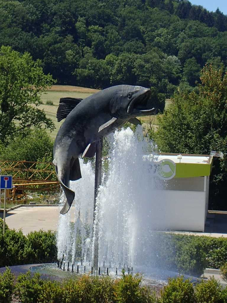
The town of Ornans is strung out along the river and seems proud of its fishing. Eventually we reach our chosen campsite and after washing and the usual stuff, cower out of the sun near the bar.
Sheep! and Clocks! Geneuille to Besançon 14km.
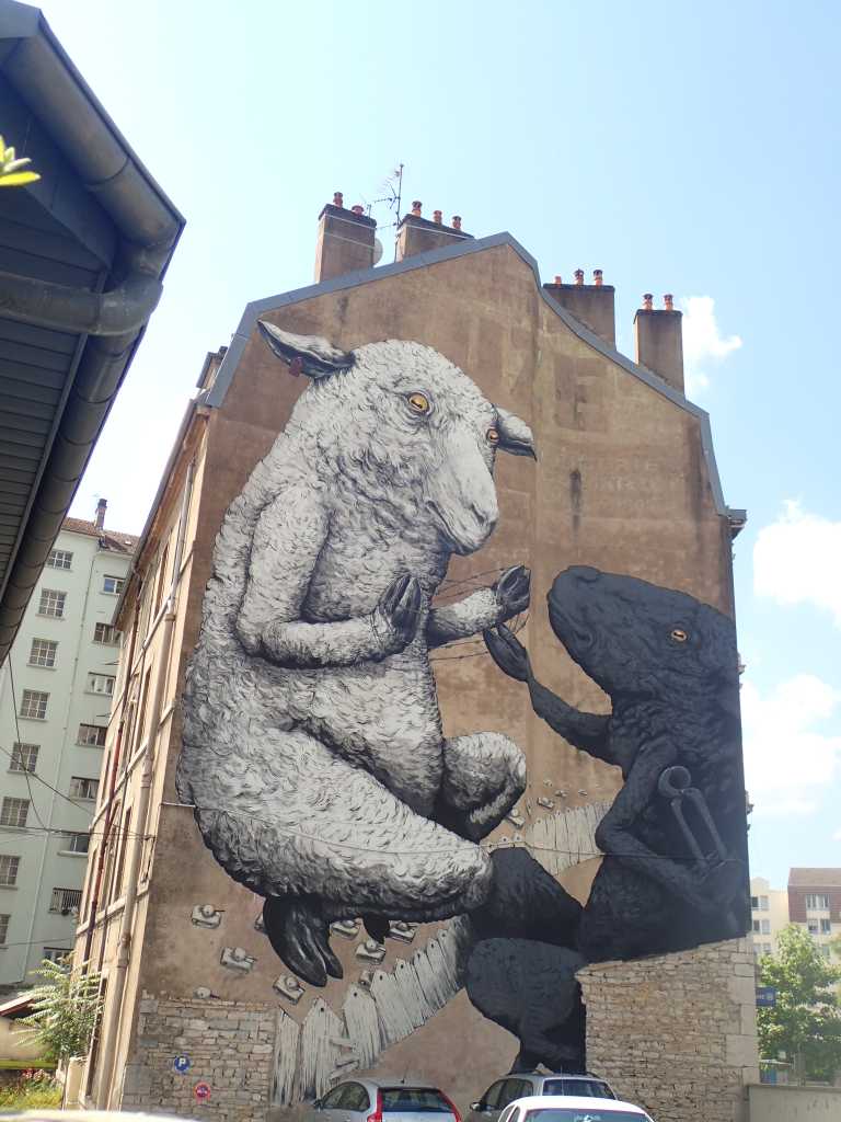
The sleepy hollow of Geneuille was a little more awake when we left this morning no sheep were seen. And we passed quickly through some woods to the edge of Besonçon. On entering town after a coffee in the commercial zone we were amazed by the sheep on the wall. Very well done and anti barbed wire.
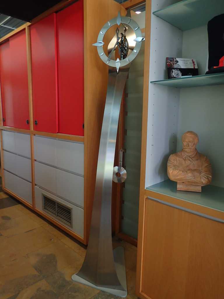
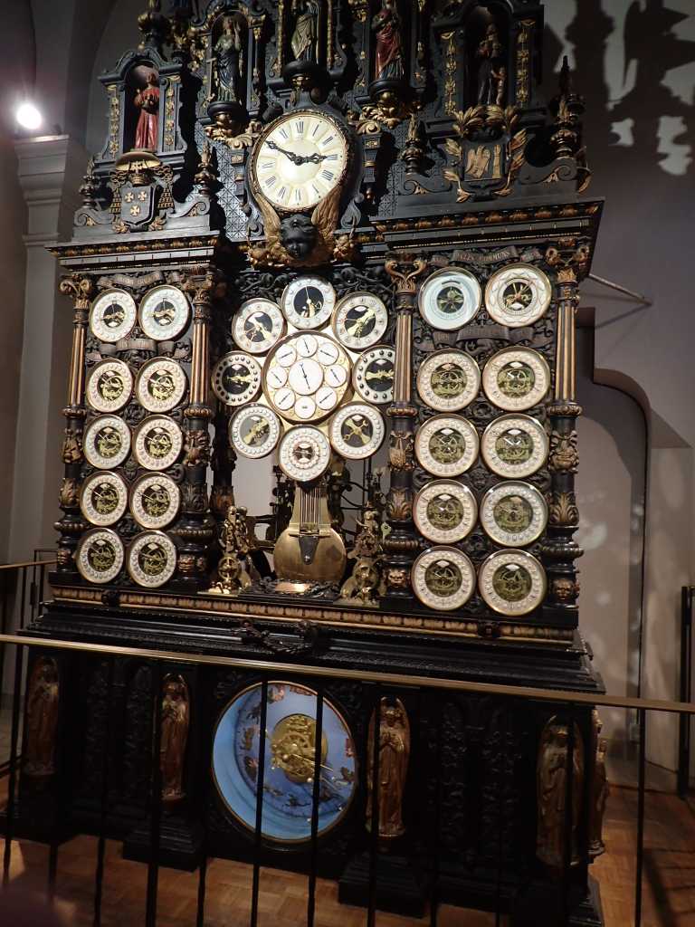
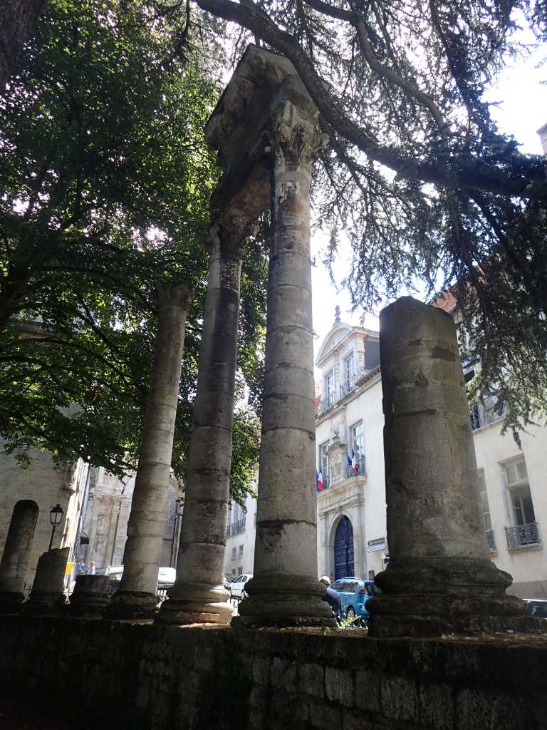
The city seems famous for several things. Birthplace of Victor Hugo, a socialist philosopher called Fourier and clocks! The tourist office had two modern ones there are several clock makers in the town and there is The Astronomical Clock in the cathedral. Made between 1858 and 1863 it is an amazing engine as well as a work of art. It tells time in at least 12 different places, phases of the moon and tides in several French ports and topically for the time in St Helena and in Cayenne, a port in French Guiana where convicts were sent in the past. As in the UK to Australia. The cathedral is in the lots of pillars Greek looking style we have seen in a number of churches over the last week or so.
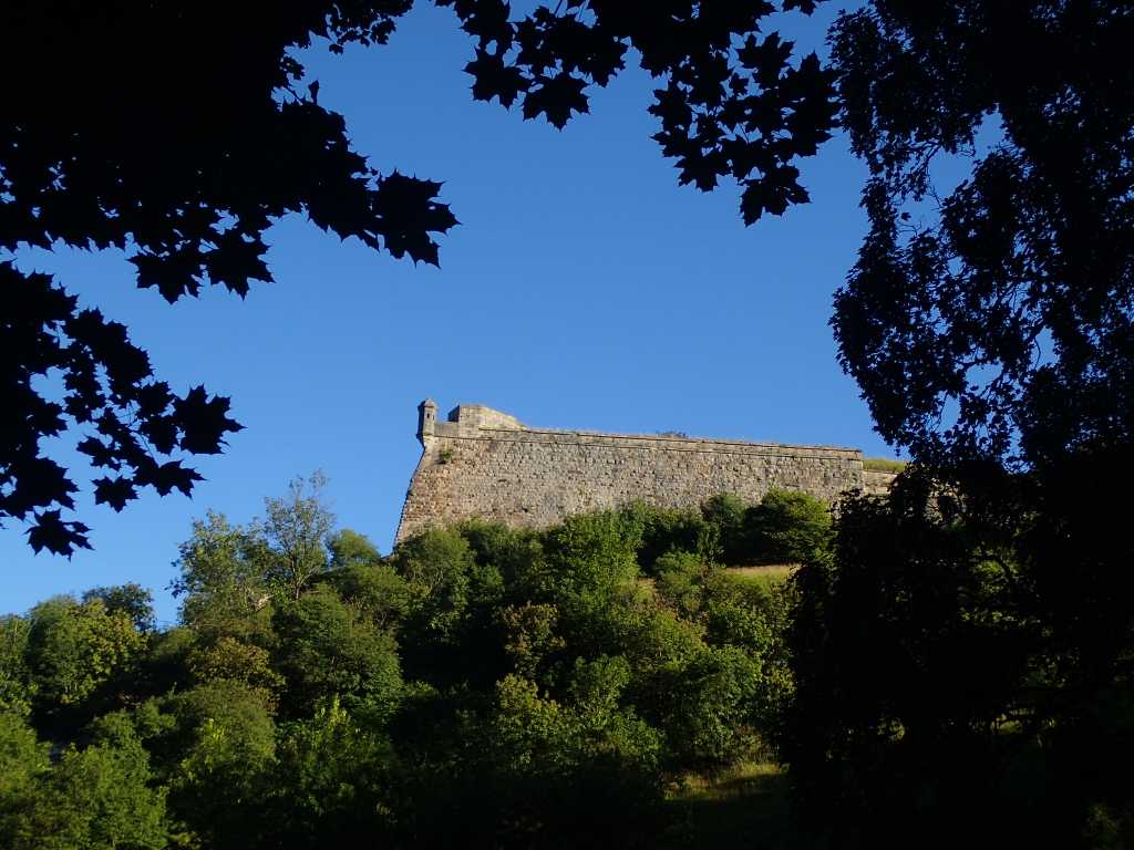
The city is on a large loop in the River Doubs which joins the Saone at another Verdun, not the one you heard of. Since we are now in limestone hilly country the reason for the loop is a rock of harder than the rest limestone on which is a 16thC citadel built once again when artillery was just getting started. The rest of the town is mostly on the near island with several bridges. The one we crossed was built in 19c and the again post WW2. There’s also the remains of what might be a Roman theatre.
Tomorrow we march on over a couple of hills and to a campsite on the river Lou, a few wooded valleys lie between the two rivers. Good training for Switzerland!
